February 2020
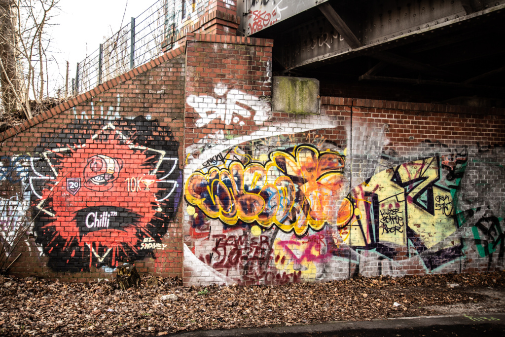
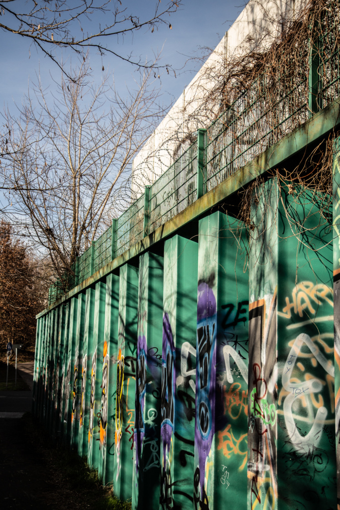
Using this book as reference: Grenzgänge – 25 Wanderungen auf dem Berliner Mauerweg, I have started walking along what used to be the Berlin Wall. Not all the photos I am posting are directly related to the Wall. Many of them show what you can also see along the route.
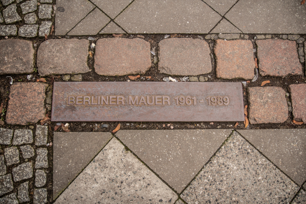
Tour Number 24 – from Checkpoint Charlie to Potsdamer Platz
I started with tour number 24 – from Checkpoint Charlie to Potsdamer Platz – in the book, because that is the starting point which is closest to my home, and my least favourite spot in Berlin and to get that over and done with while the tourist hordes, although always bad there, were at their lowest.
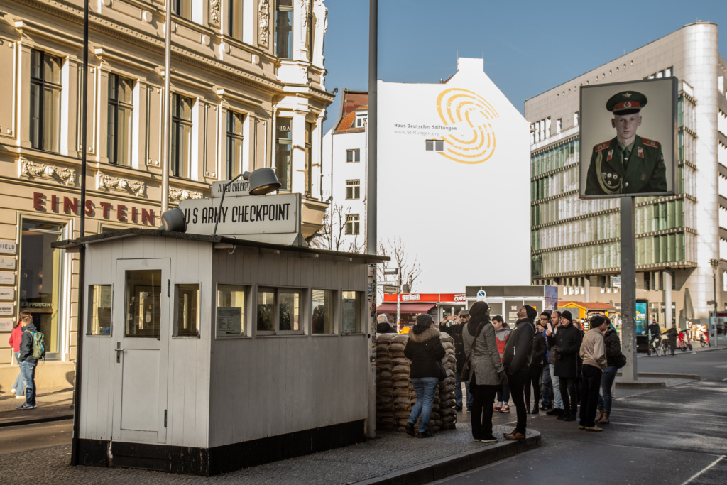
It is not even the original shed (that one is exhibited in the Allied Museum in Dahlem (later to be re-housed in Tempelhof Airport, I think). But at least the “Russian soldiers” have been banned.
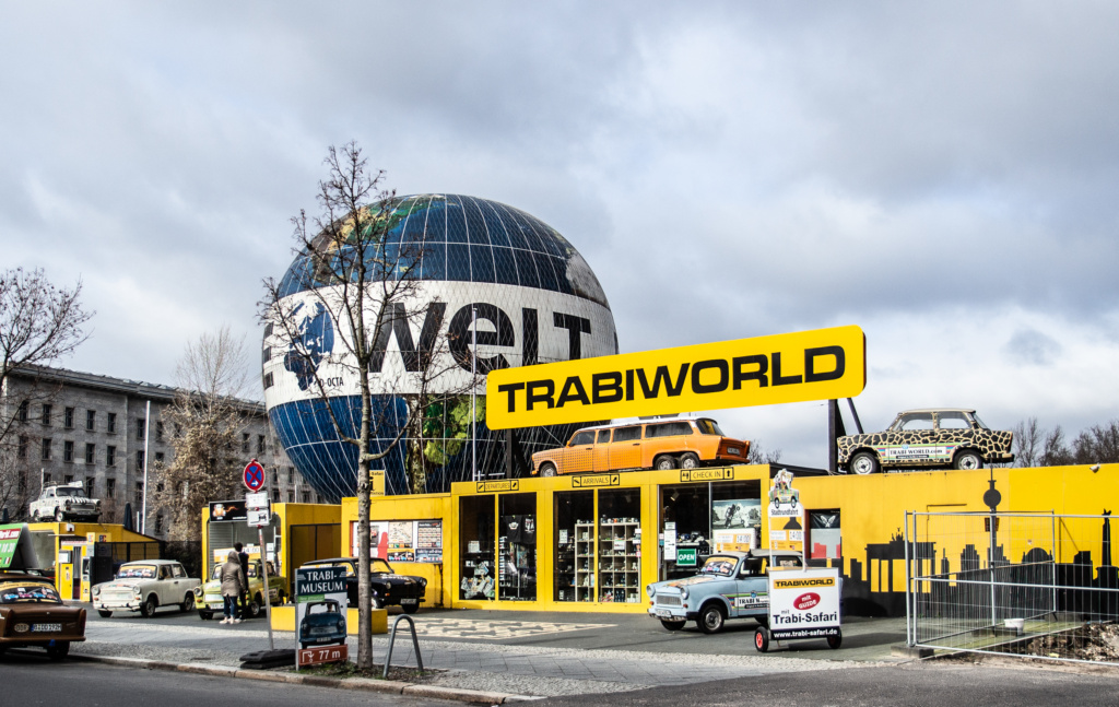
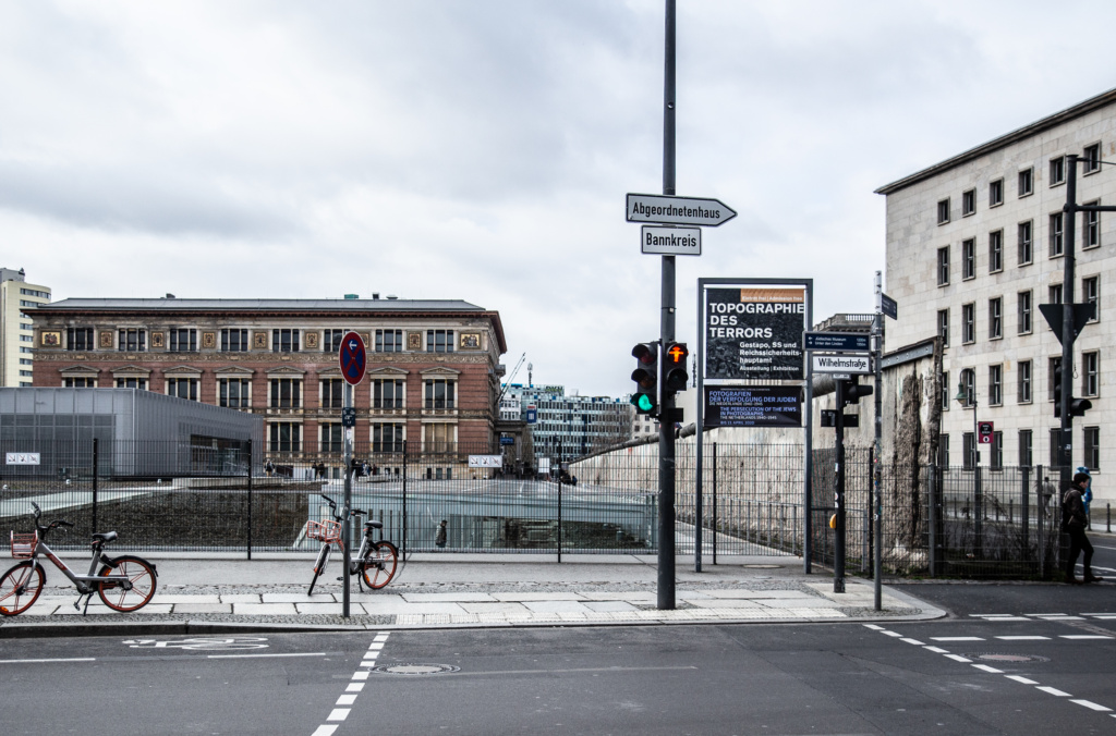
Then along Zimmerstraße, past Trabiworld, also on the right, the building that housed the Ministry of Aviation during Nazi Germany, and where and where the founding of the GDR was proclaimed in 1949, the Topography of Terror (bordered by remnant of the actual wall), Martin-Gropius Bau and Abgeordnetenhaus (Berlin’s state parliament building), towards Potsdamer Platz.
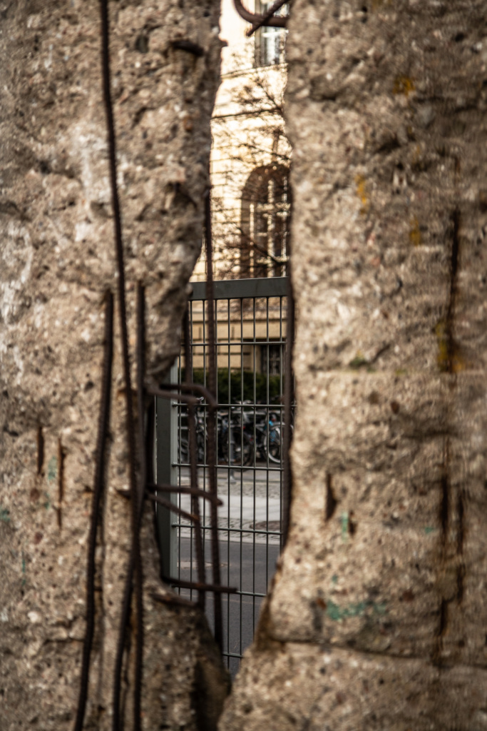
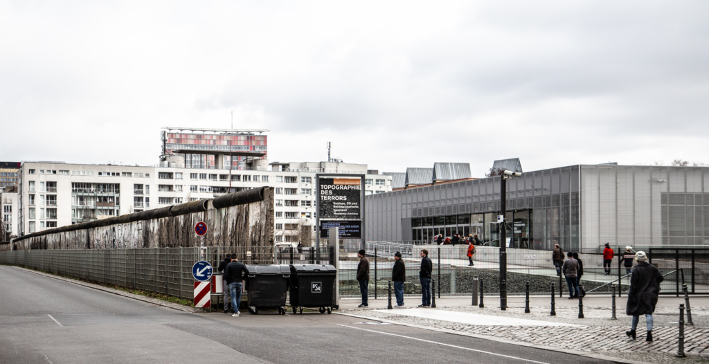
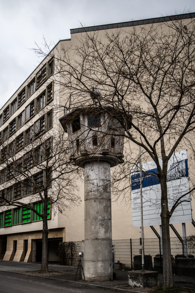
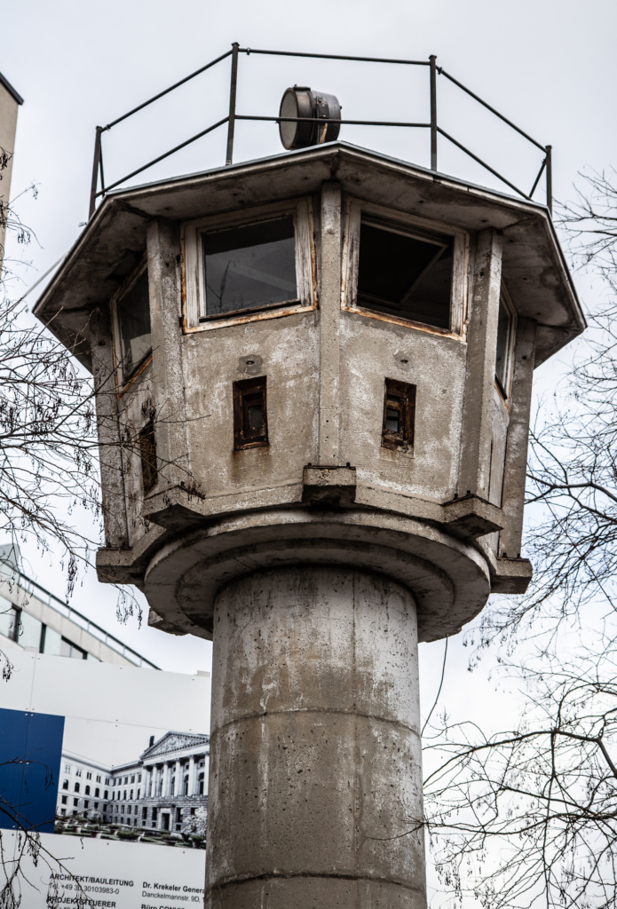
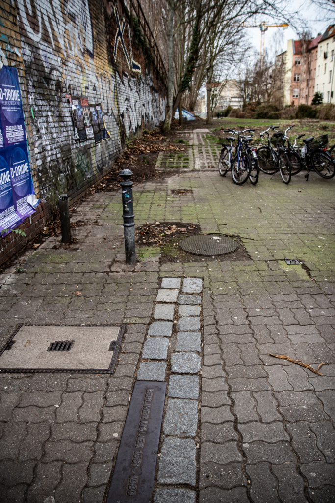
Before reaching Potsdamer Platz, a slight detour to a former watchtower which has been moved about ten meters from its original site in order to make space for some new buildings. And all the way guided by the double row of large cobblestones that meticulously depicts the trajectory of the wall.
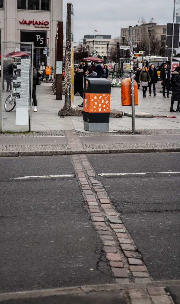
On Potsdamer Platz, some pieces of the wall.
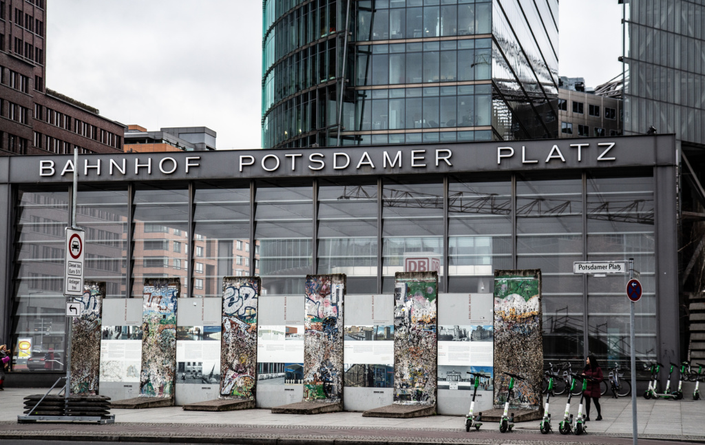
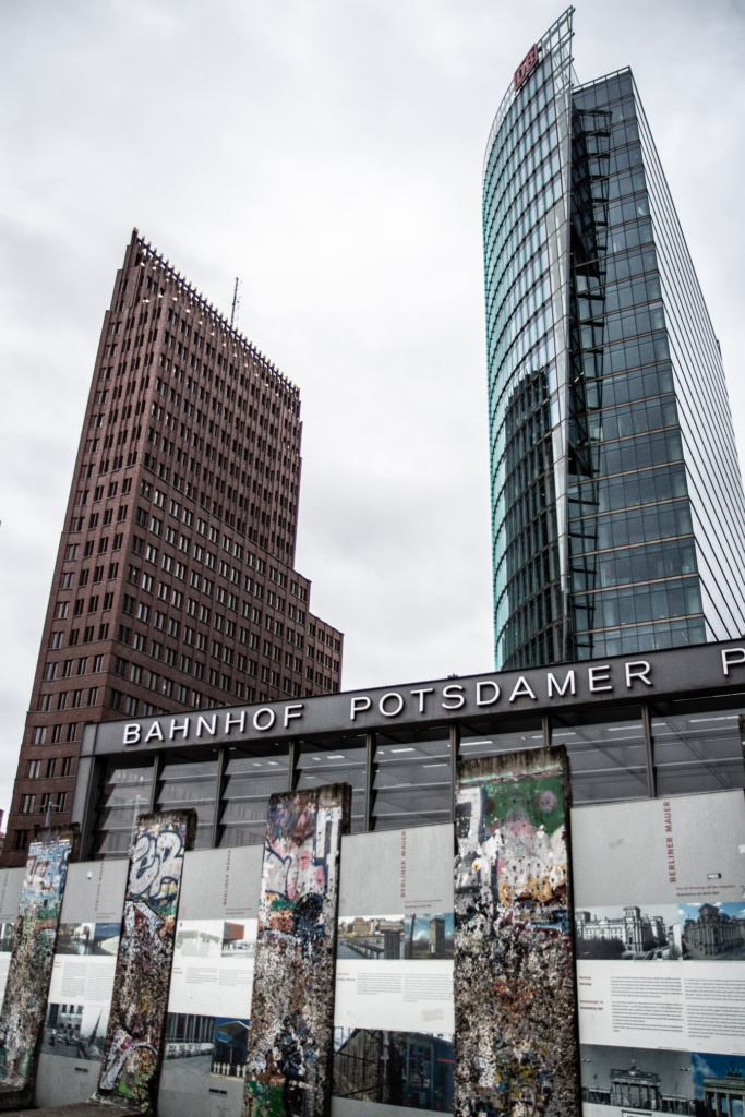
Tour Number 25 in the book – From Potsdamer Platz to Brandenburger Tor
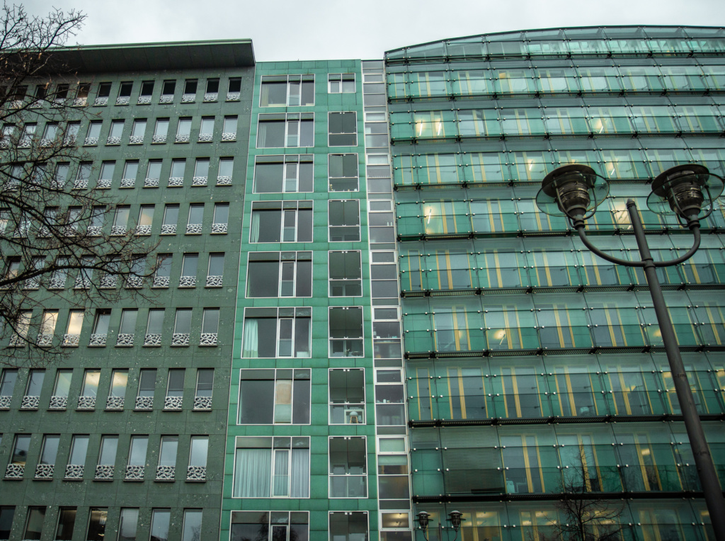
On the way, some relatively new architecture and a sculpture made of oak, about which, strangely enough, I am unable to find anything on-line, and the book also does not mention it. Still looking.
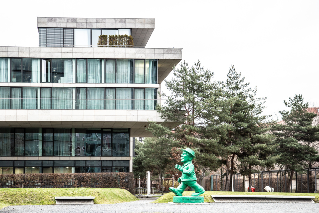
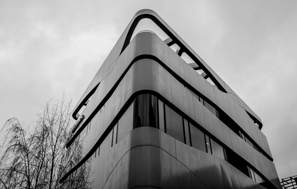
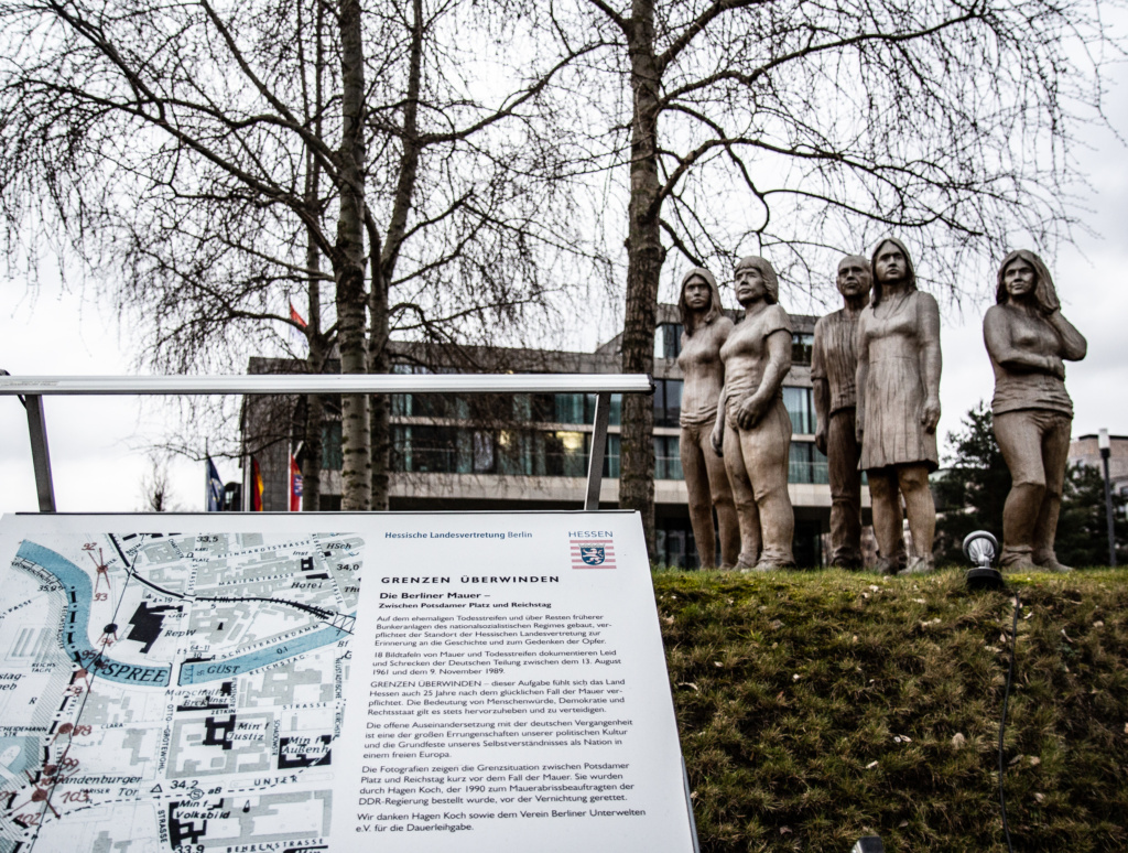
Near and across from Brandenburger Tor a number of memorials:
The one that is colloquially known as the Holocaust Memorial (where once Joseph Goebbels’ villa stood), the memorial to homosexuals persecuted under Nazism, the Soviet War Memorial, and the memorial to the Sinti and Roma victims of national socialism.
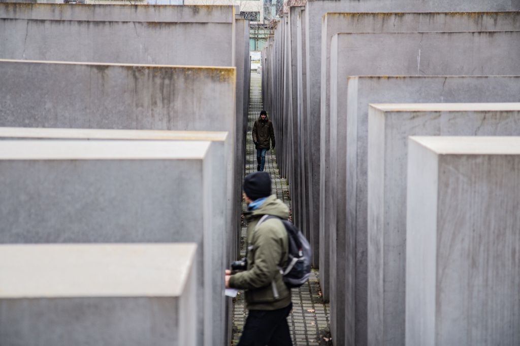
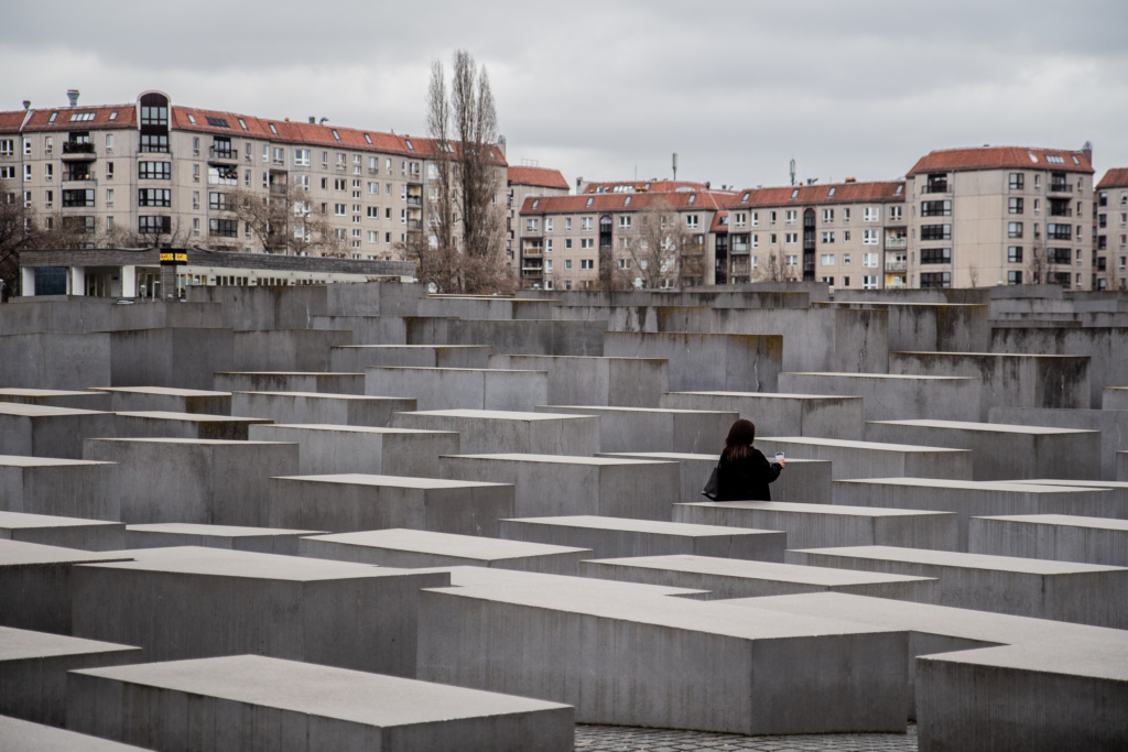
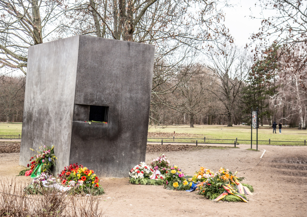
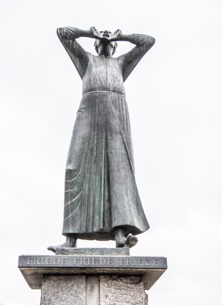
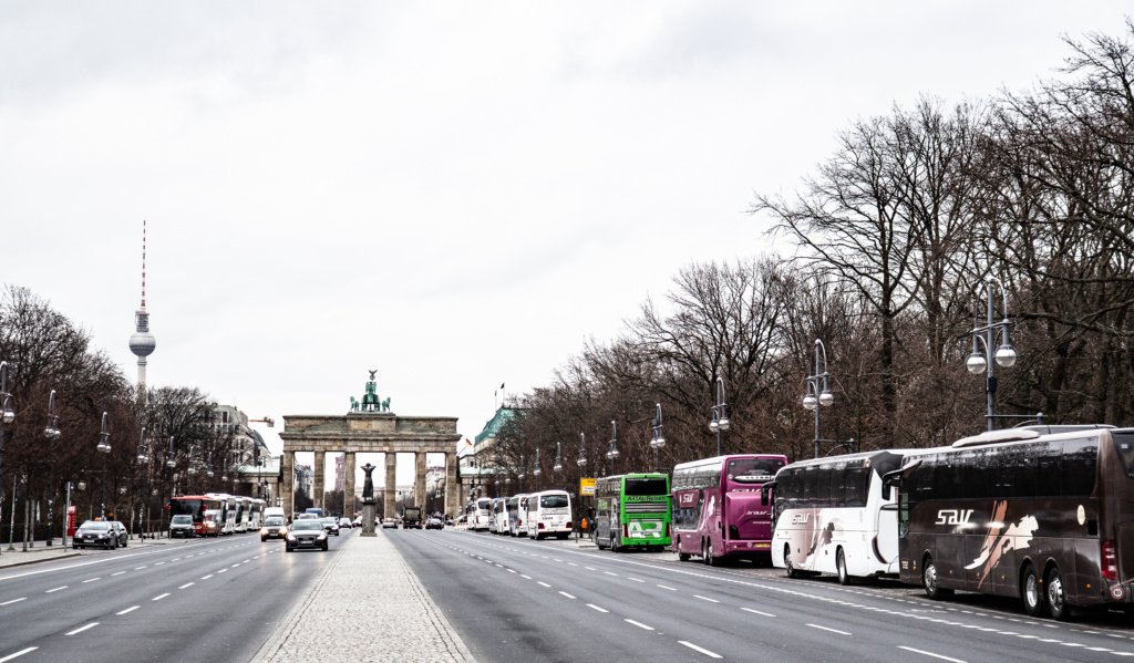
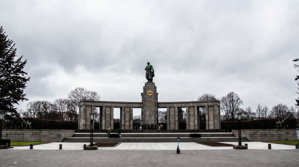
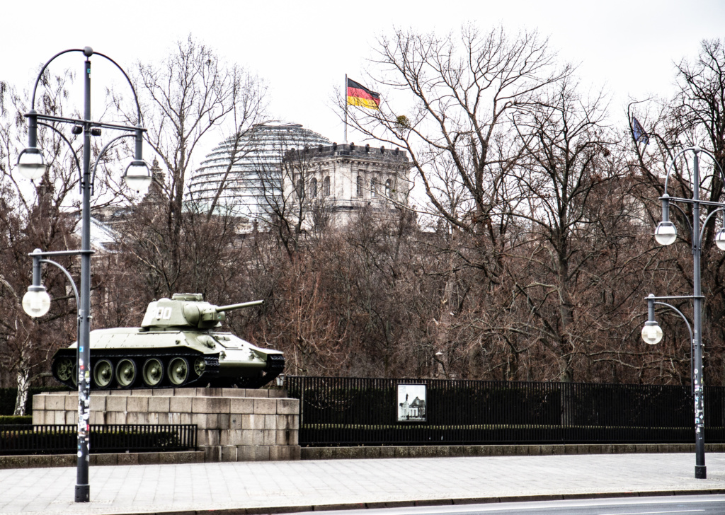
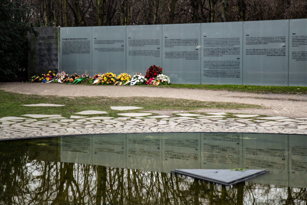
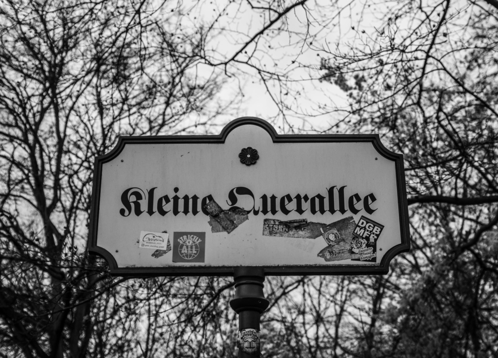
Tour Number 1 in the book – Brandenburger Tor to Chausseestraße
Past the Reichstagsbuilding and on to the river Spree which at the time was known as “the deadliest border in the world” (according to the book).

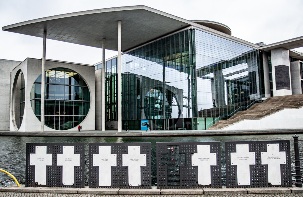
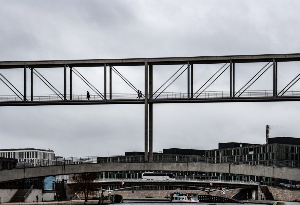
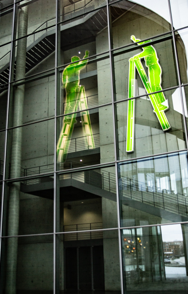
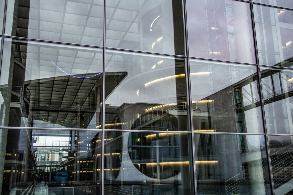
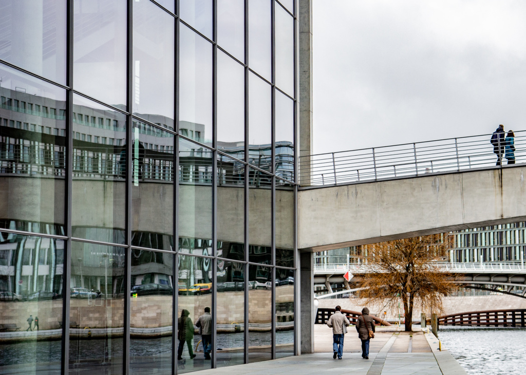
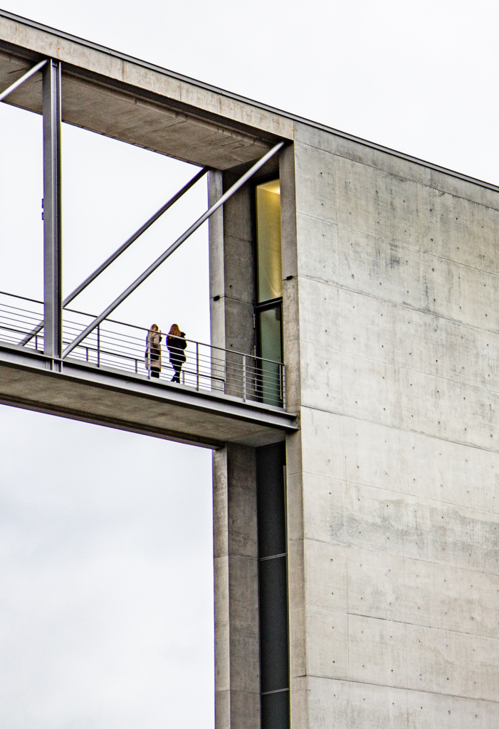
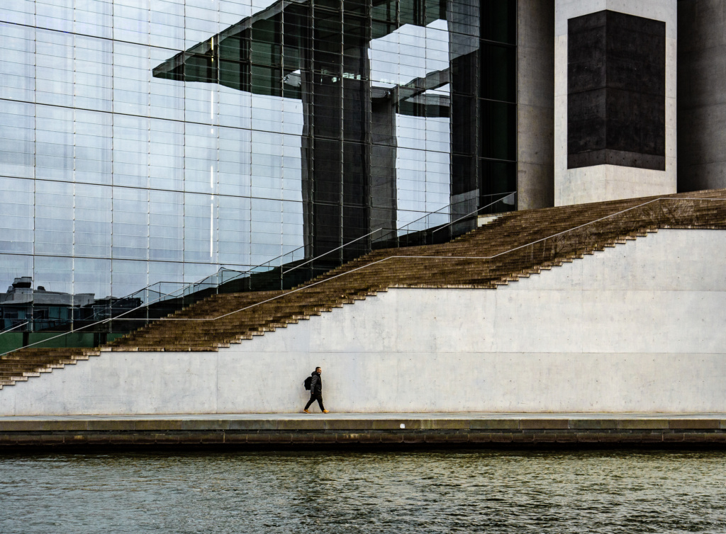
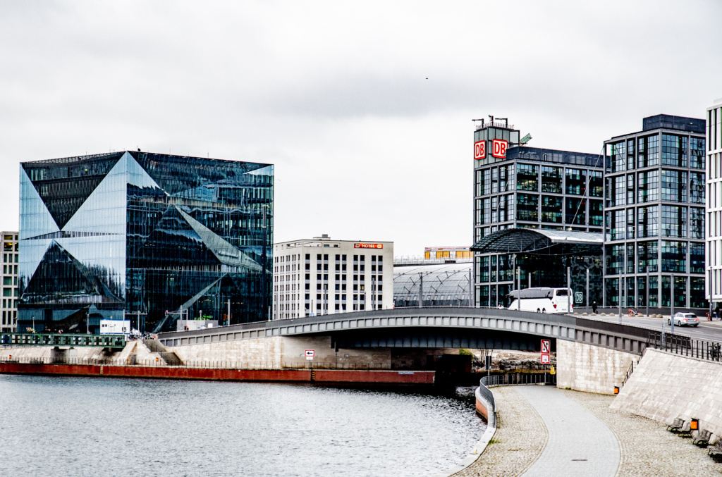
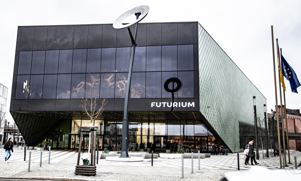
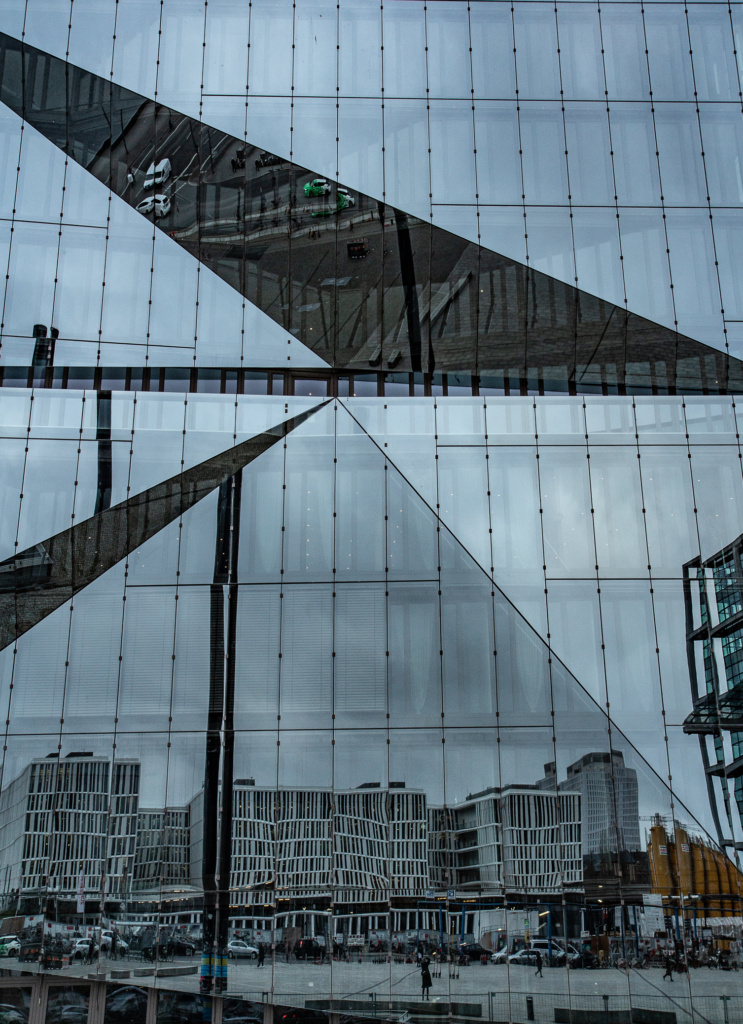
Then along the Spree, past the new Futurium, to the Central Station, which still impresses me, although now it has been dwarfed by Cube Berlin.
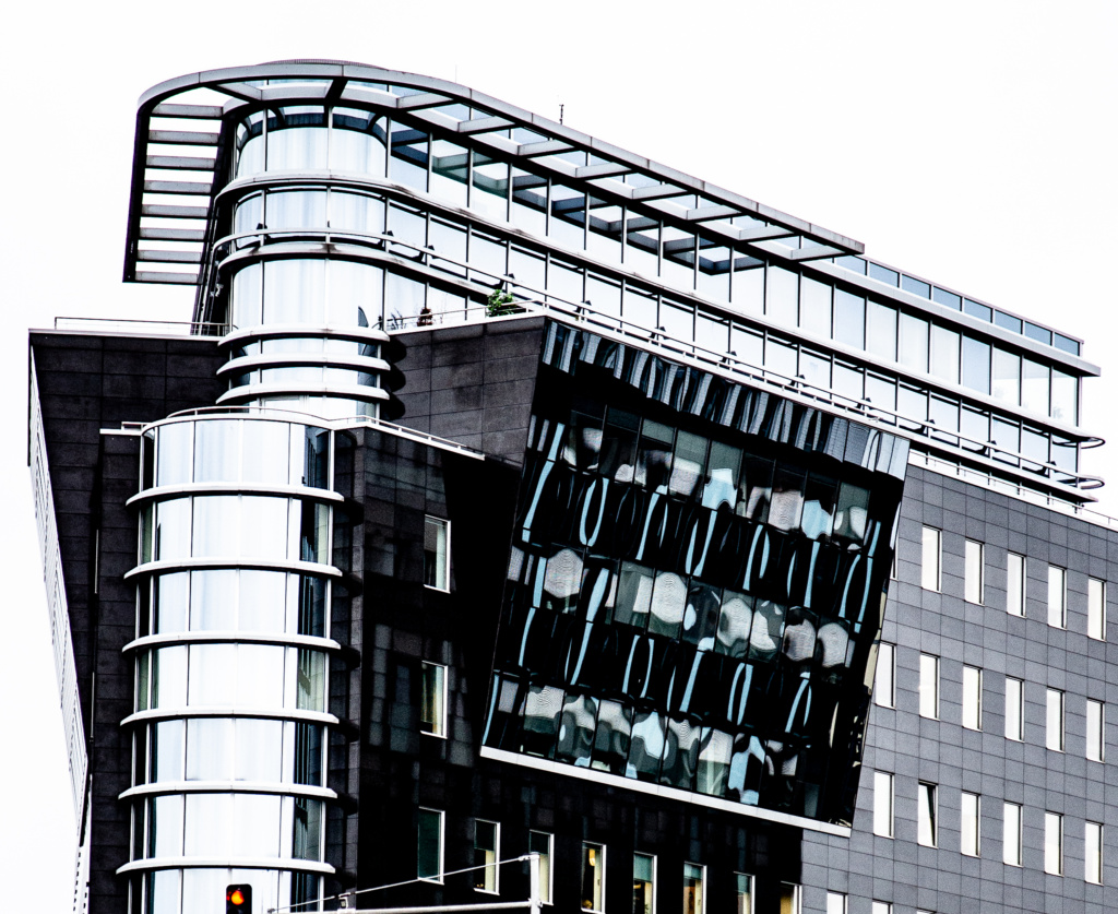
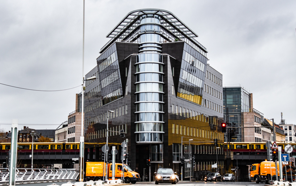
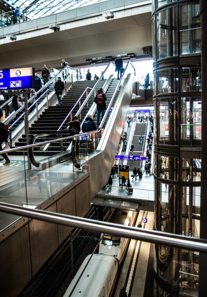
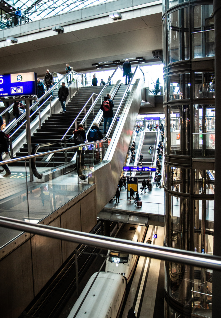
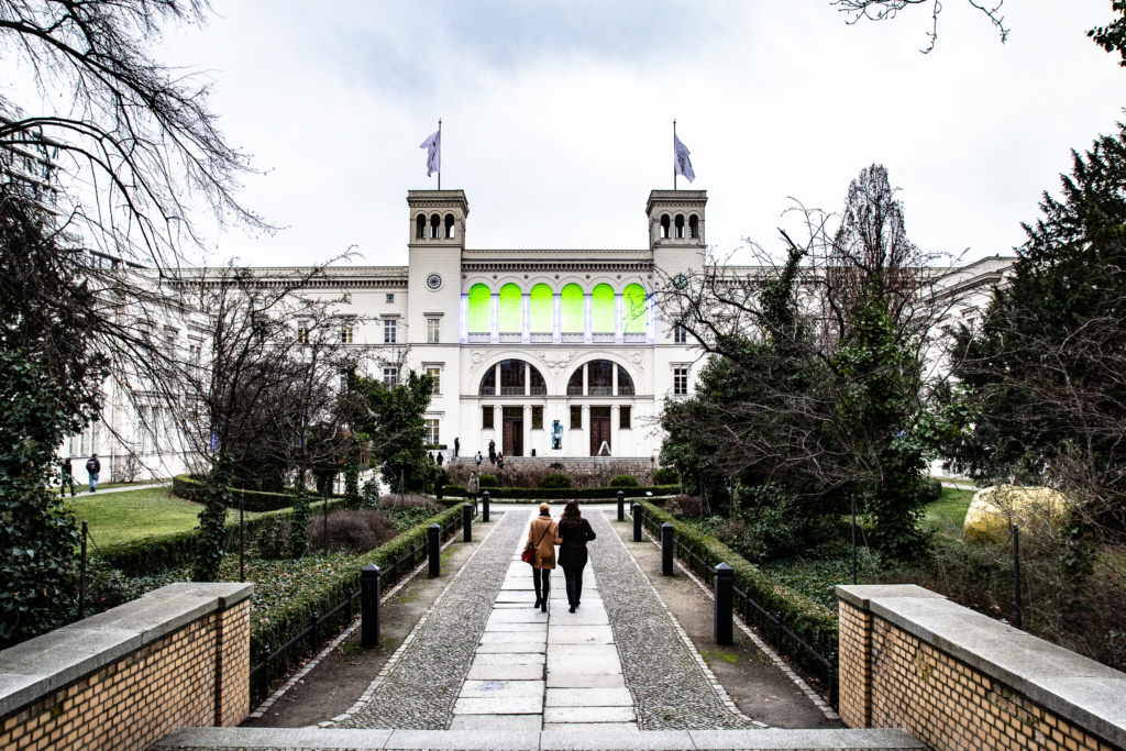
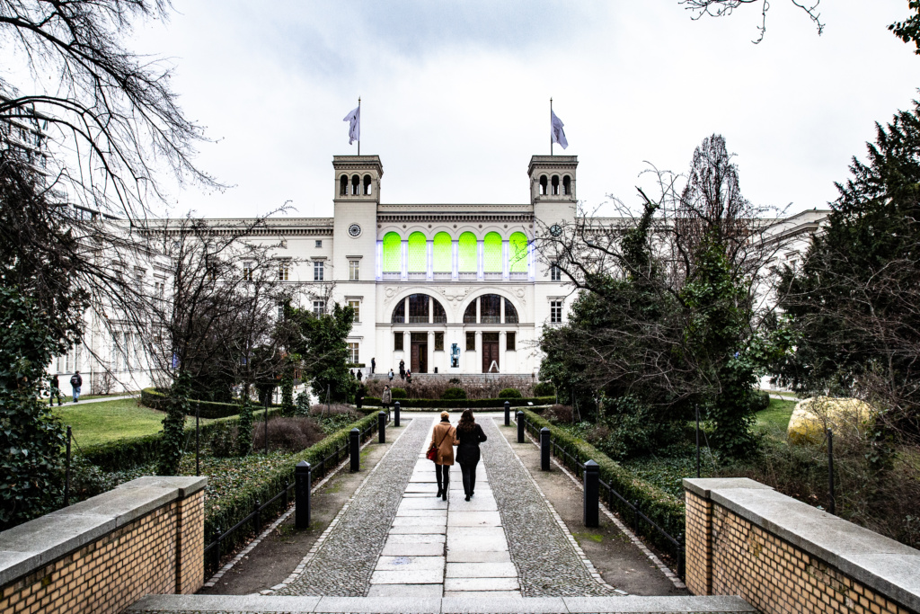
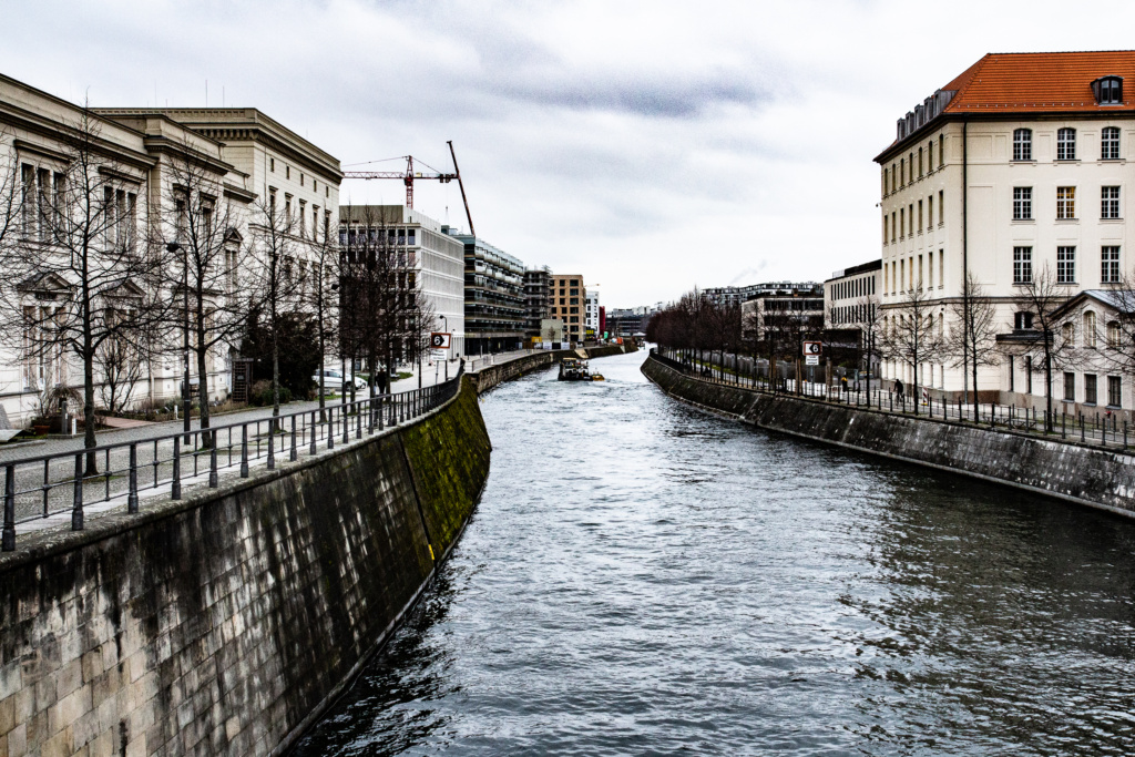
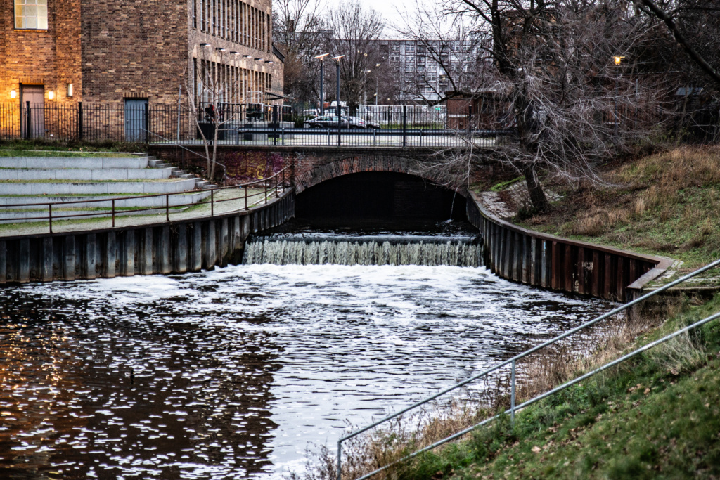
Through the central station, across the street past Hamburger Bahnhhof, over the former checkpoint, Sandkrugbrücke, and left along the old Berlin-Spandauer Shifffahrtskanal.
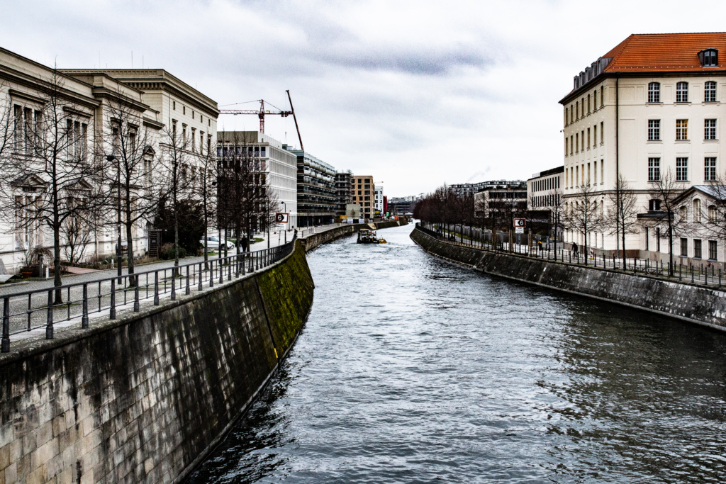
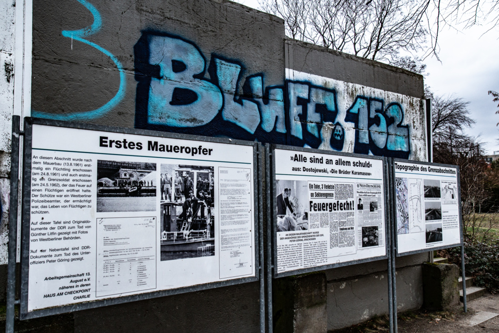
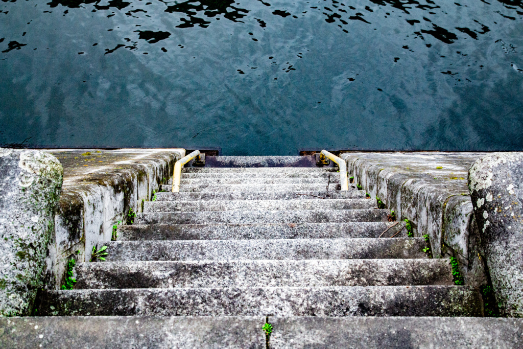
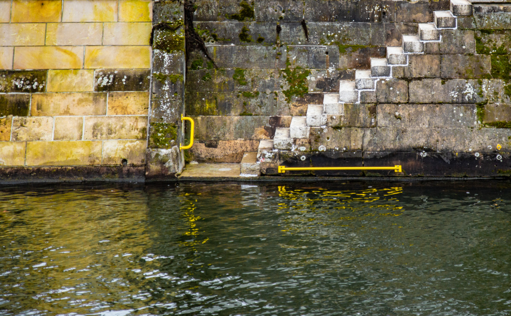
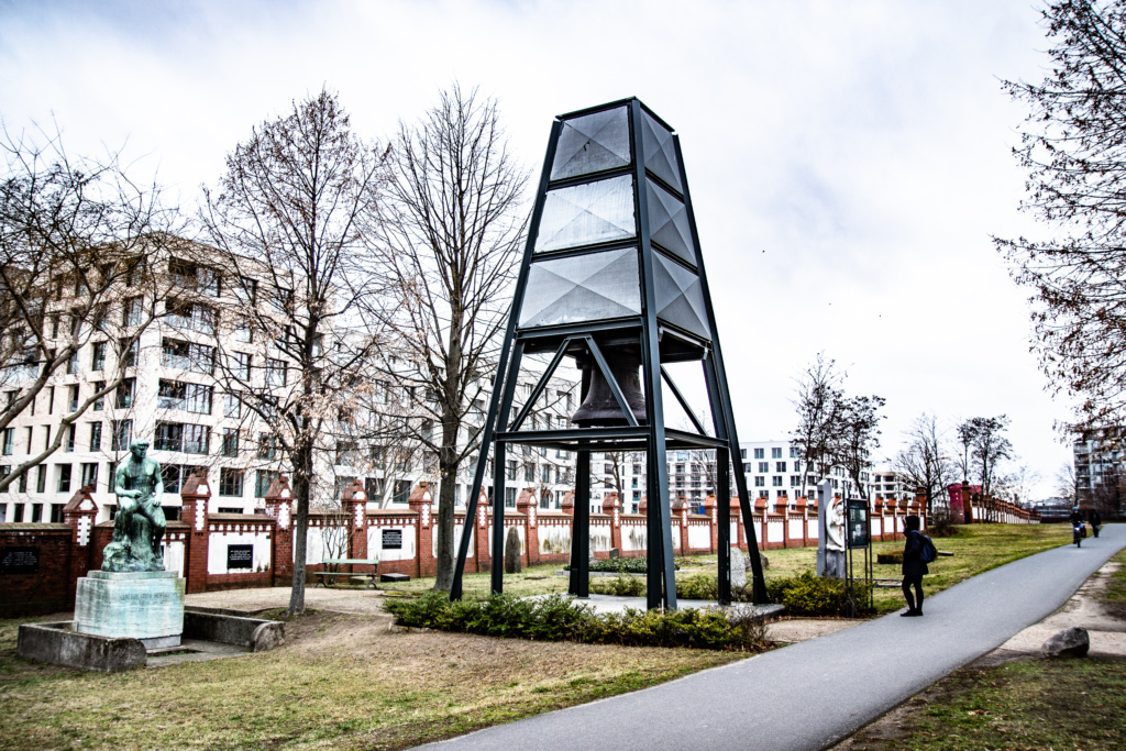
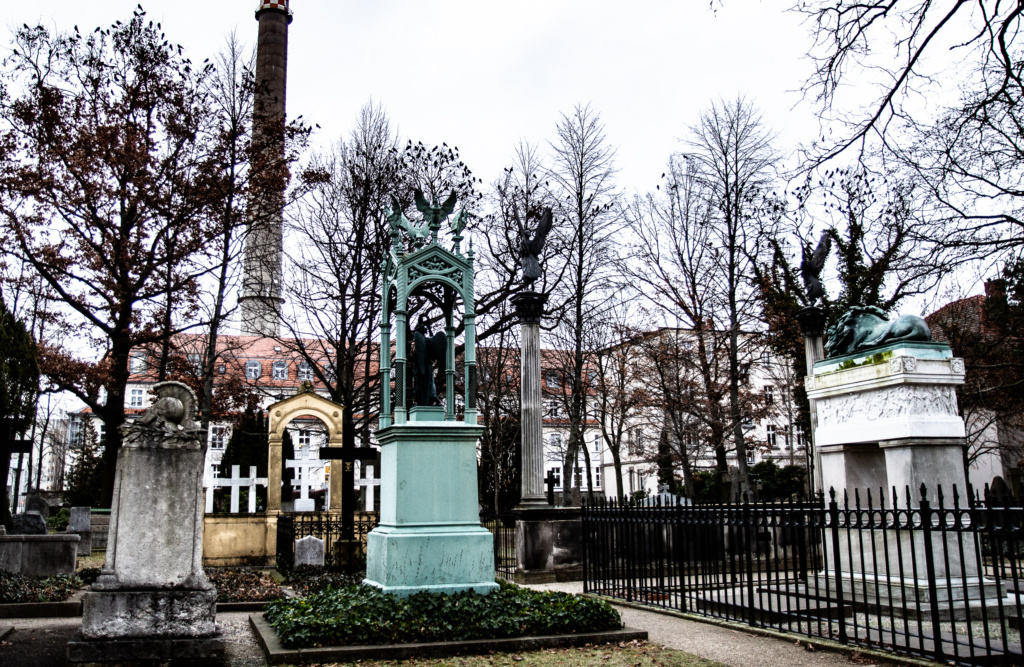
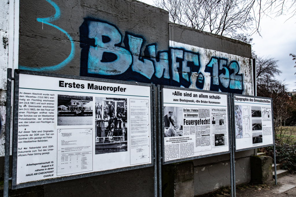
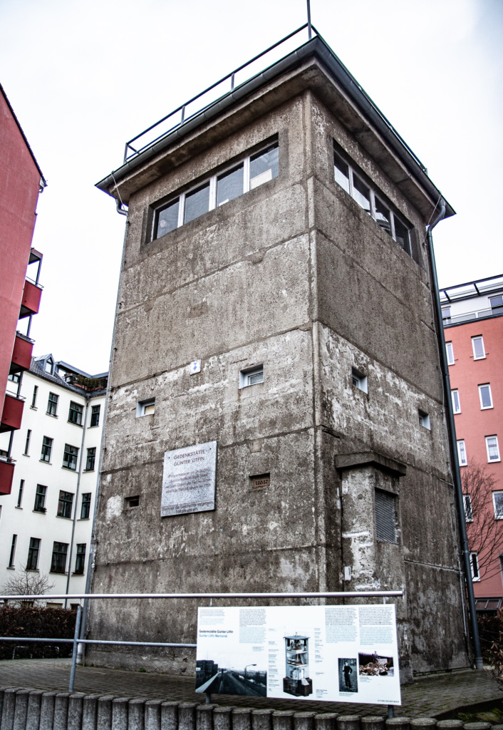
This formed the death strip, also comprising Invalidenfriedhof which meant that almost 3000 graves were destroyed and only about 250 remained after the fall of the Wall. After the cemetary, turn right at Kieler Brücke and pass the Litfin-Turm – a former watchtower now a memorial to the first victim of the Wall.
Boyenstraße forms the last stretch of Tour no. 1 in the book. Head over to Liesenstraße to start
Tour Number 2: Chausseestraße to Mauerpark
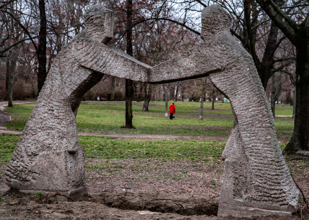
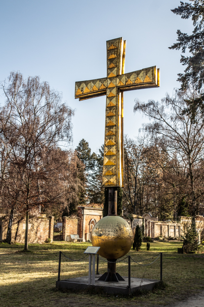
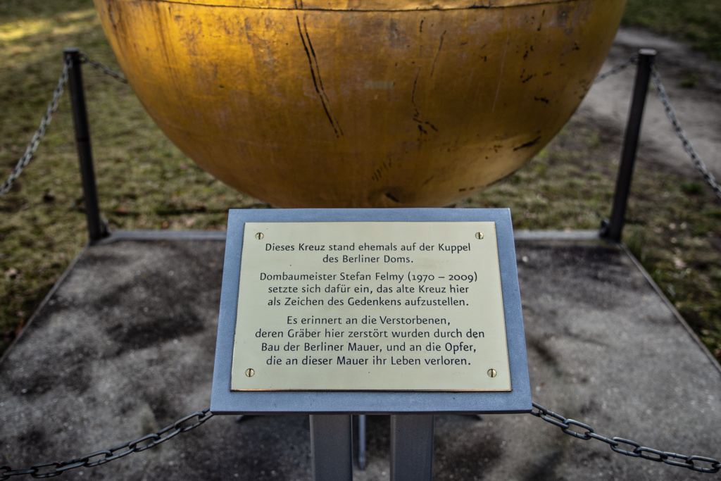
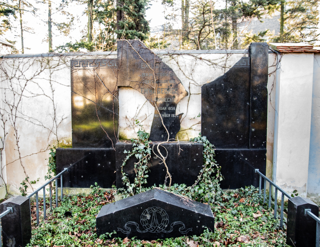
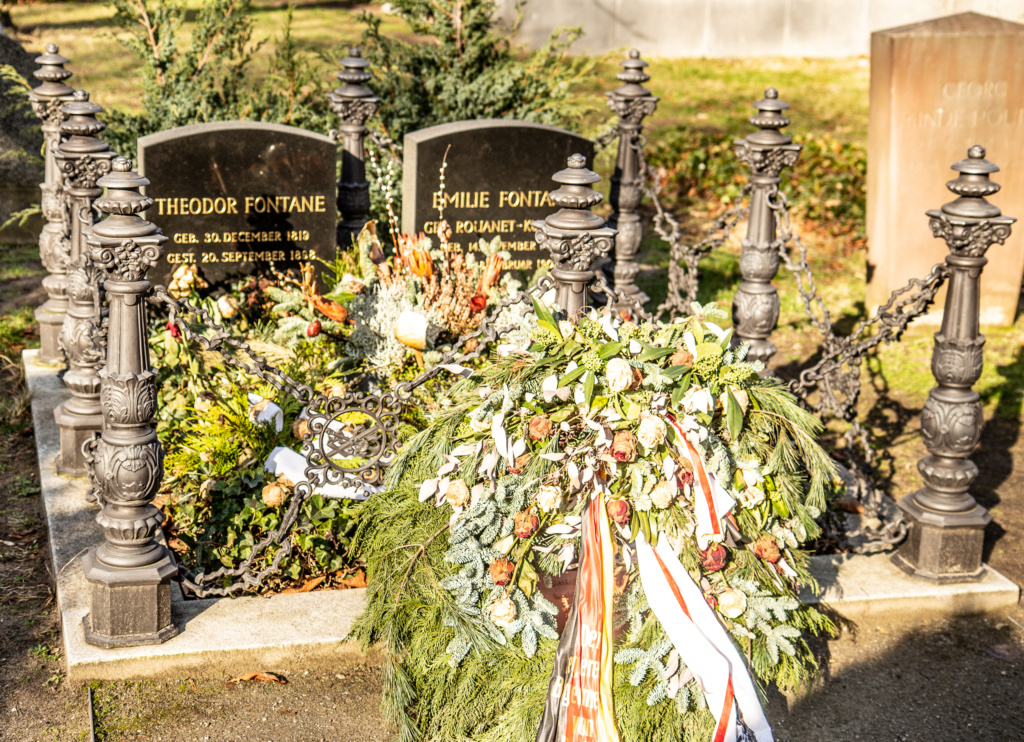
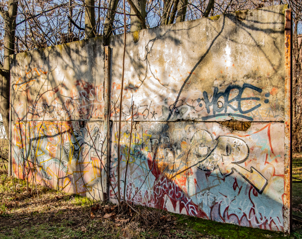
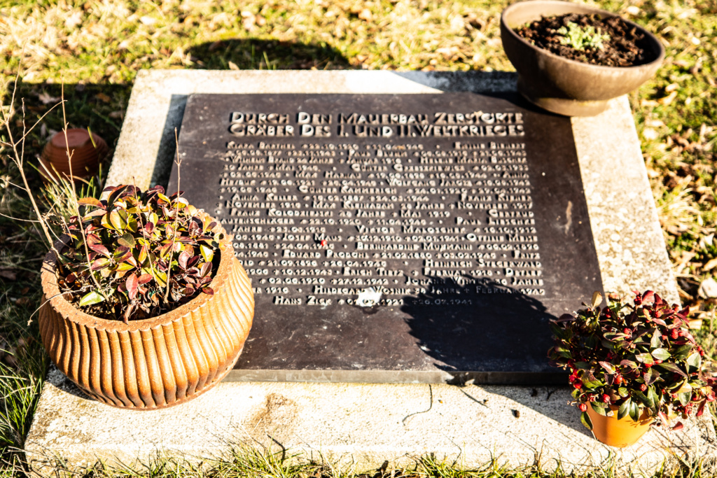
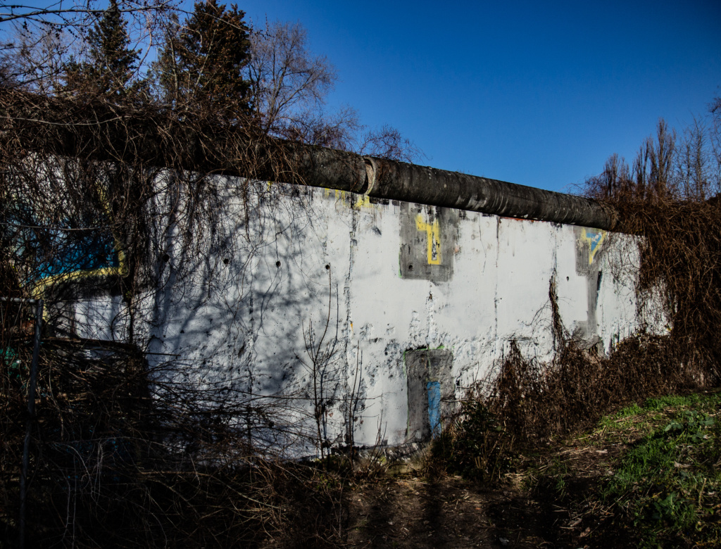
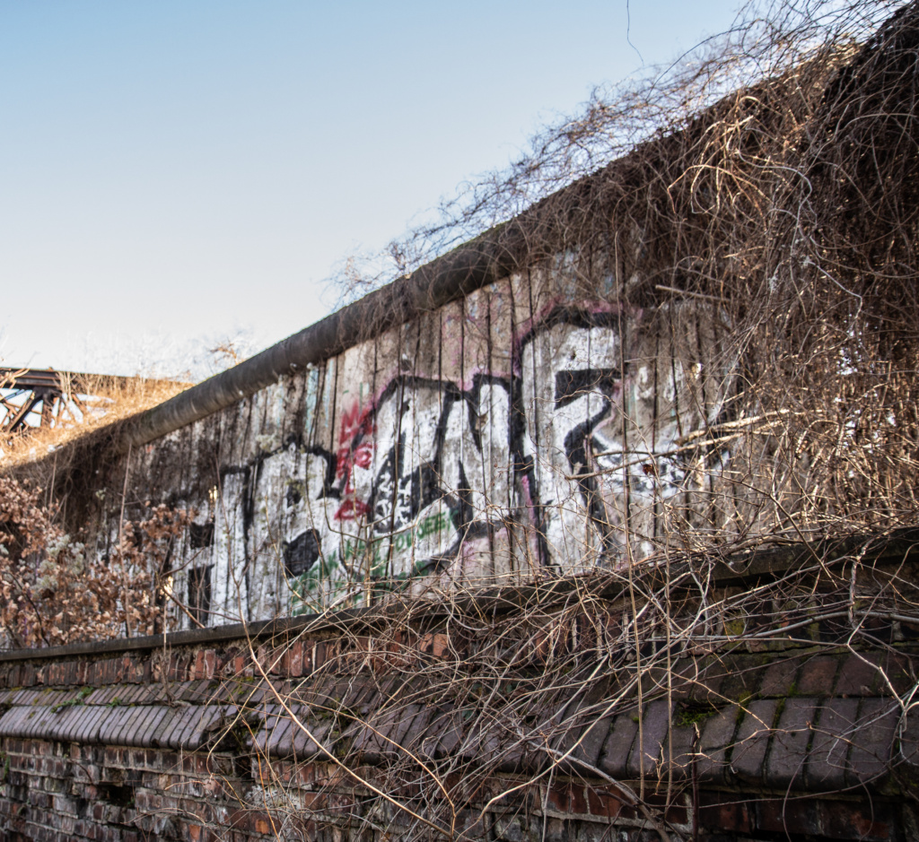
Nip into Evangelische Domfriedhof (and the adjoining three other cemetaries. Many graves were destroyed when the Wall was constructed straight through the area, and several plaques commemorates this. Parts of the cemetary would be well placed in books about “Abandoned Berlin”. In contrast, for obvious reasons, the burial site of Theodor Fontane is very well kept. There is also a piece of the wall left (forgotten?) there.
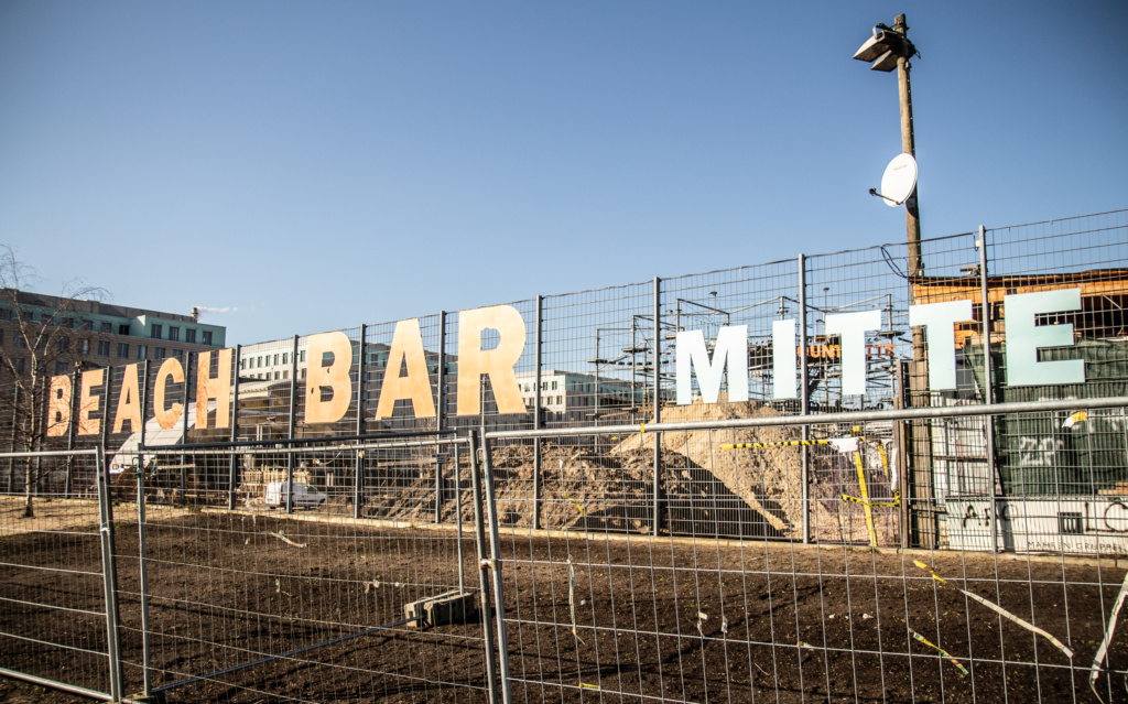
Out of the cemetary, under the railway, and right into Gartenstraße. For a more recreational walk than the street level can offer, take the stairs up to the former death strip, now a long parklike area, and follow it all the way to “Beach Bar Mitte”. And notice the double row of cobble stones again.
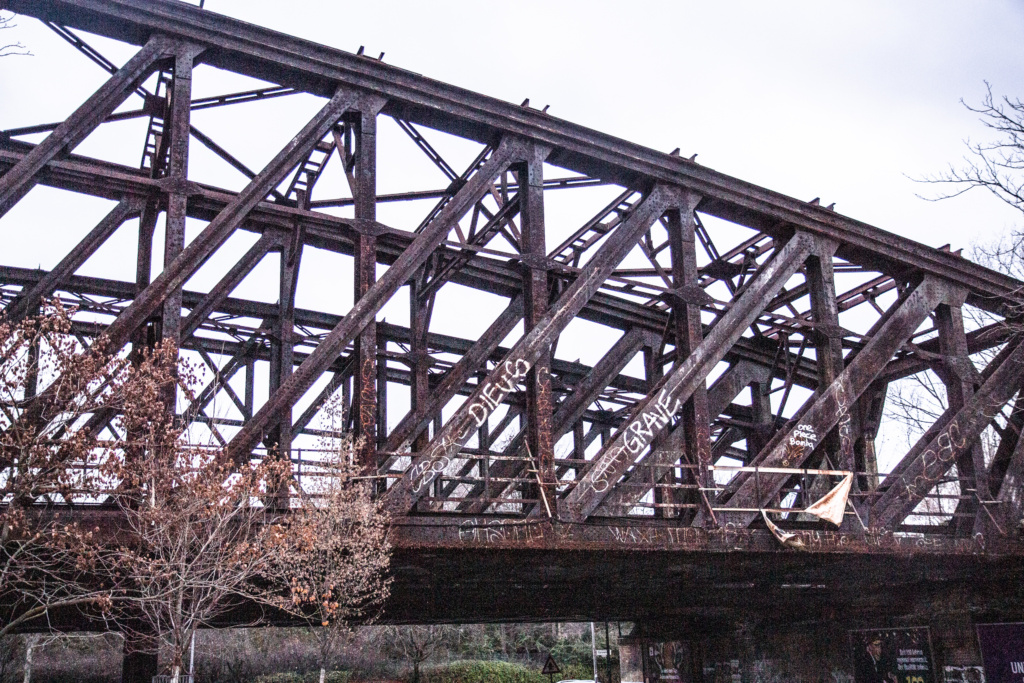
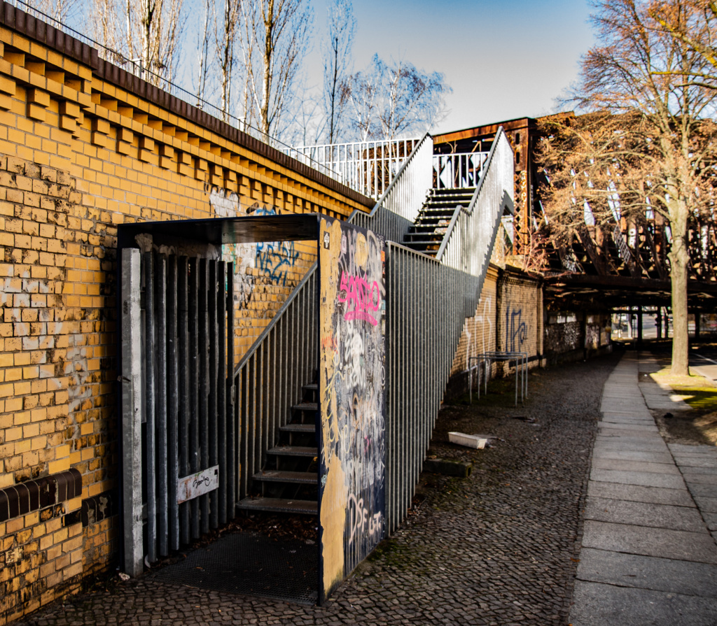
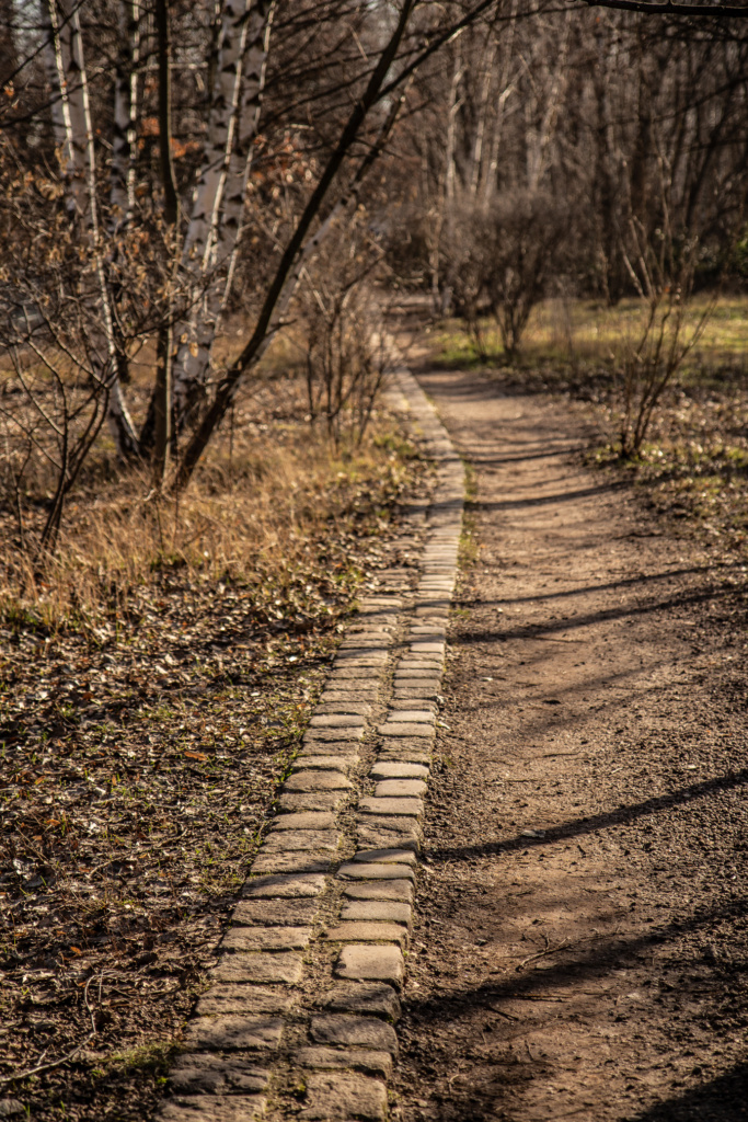
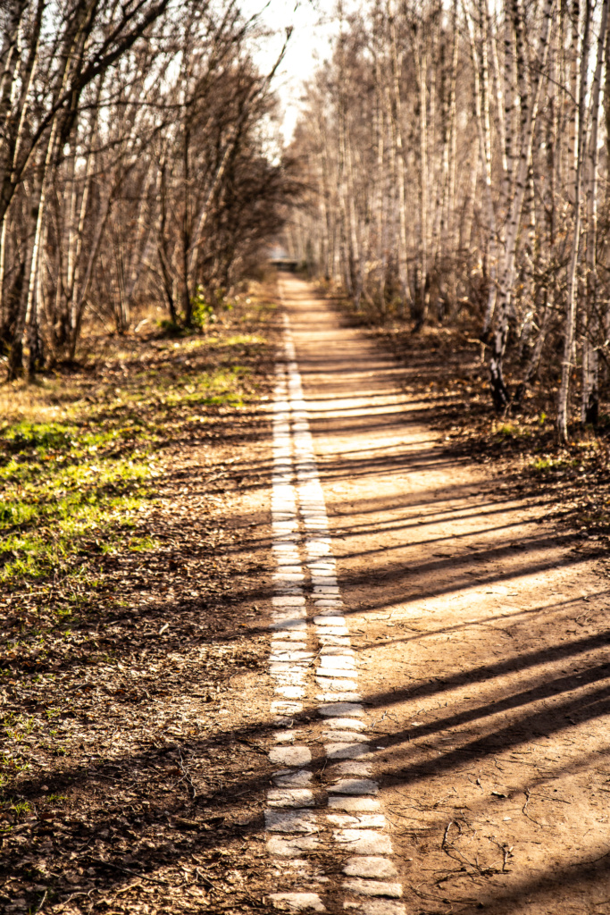
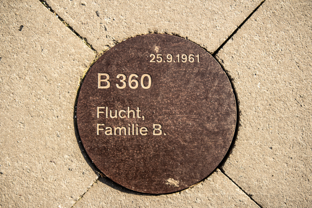
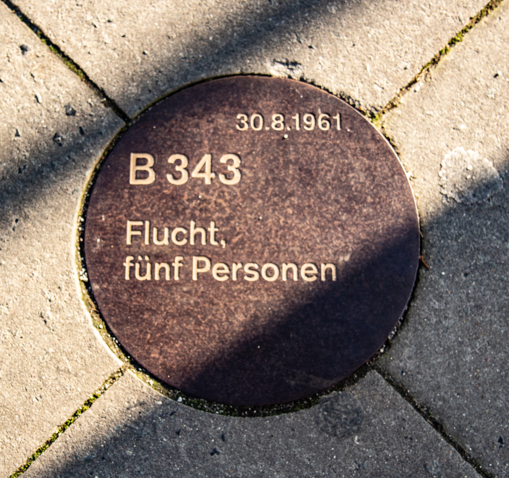
From Nordbahnhof, walk along Bernauer Straße and take in the comprehensive and endlessly informative, 1.4 km long, and definitely worth a separate, more in-depth visit, Gedenkstätte Berliner Mauer.
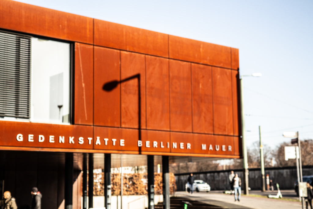
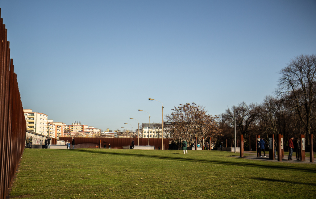
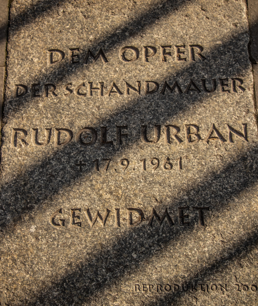
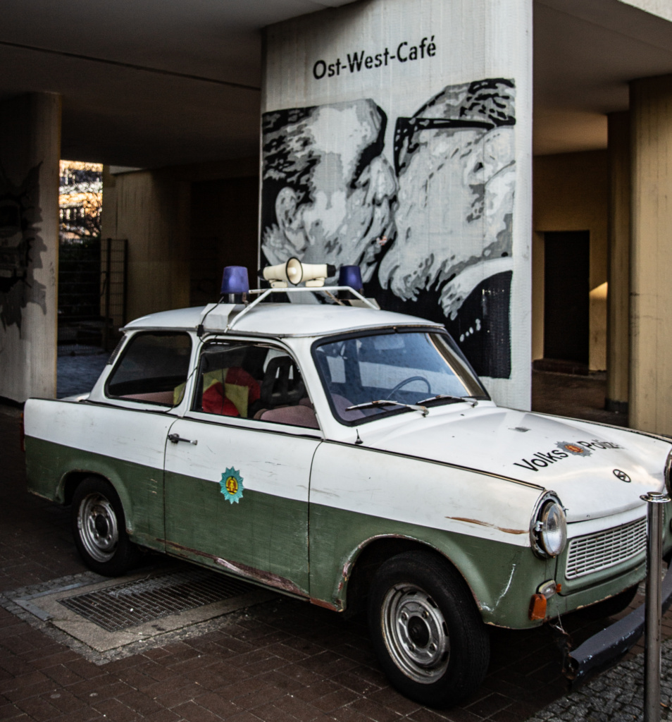
For sustenance after that visit, the Ost-West Café is an option.
Continue along Bernauer Straße and turn left into Mauerpark and the start of
Tour Number 3 in the book: From Mauerpark to Bösebrücke
Mauerpark, with its famous fleamarket, and infamous weekend parties, probably needs no introduction.
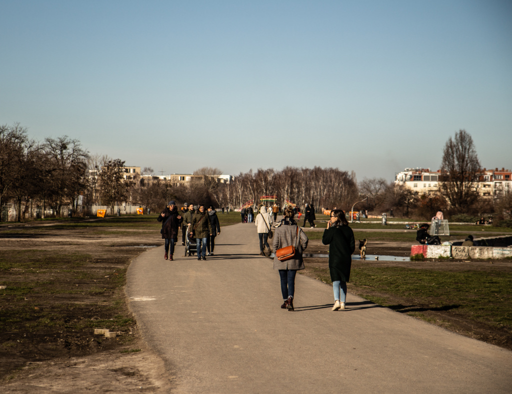
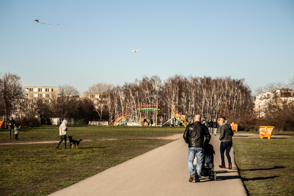
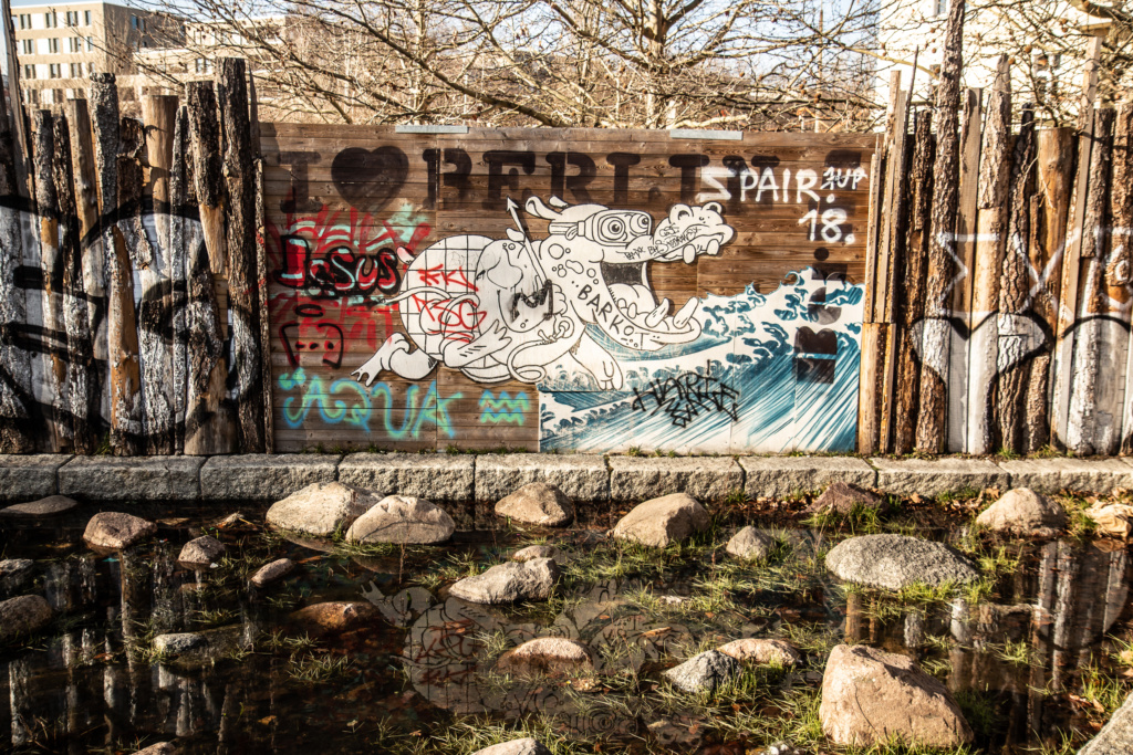
Somewhere around the end of Mauerpark, and where we turn right, is one of the largest construction sites in Berlin (although I did not find it): A 700 m long “storage sewer” which can accommodate 7.400 cubic m of water so that in heavy rainfall no sewage water spills into the rivers Spree and Panke.
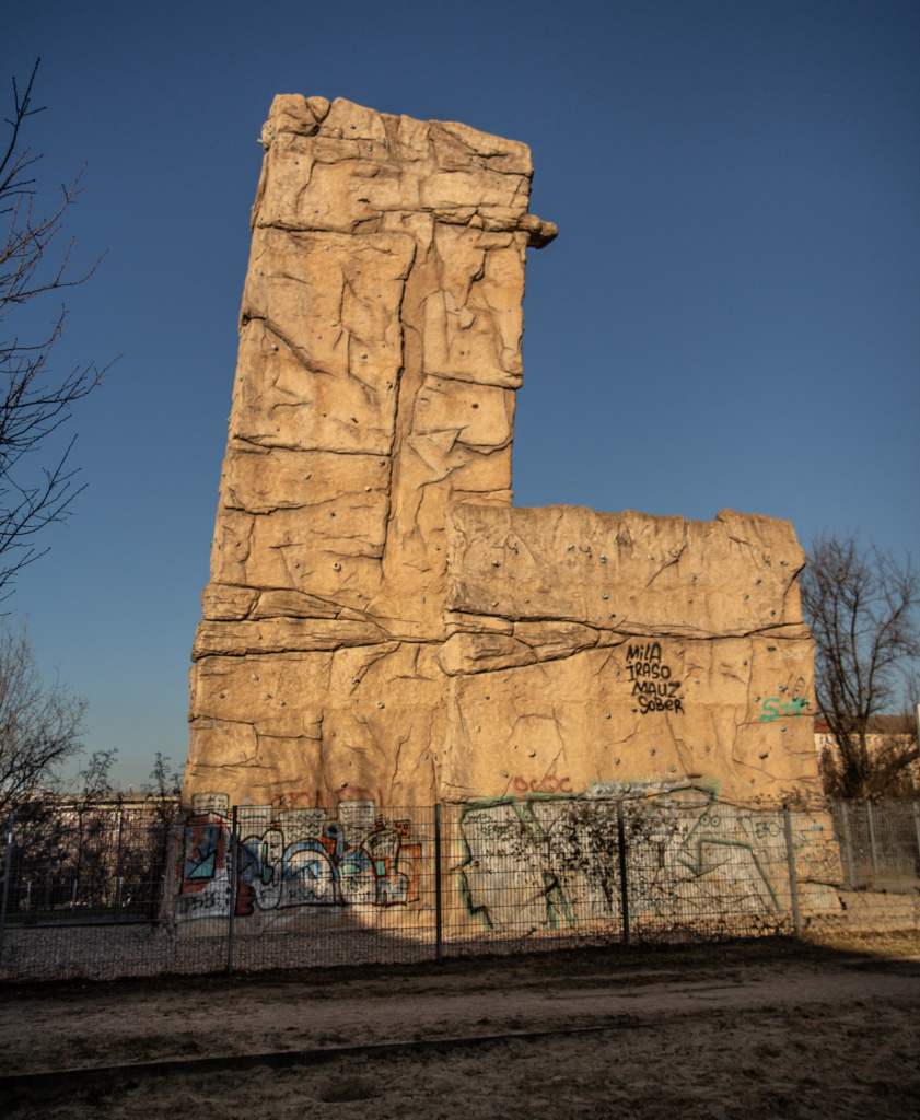
Up the stairs, just before Schwedter Steig, a playground, a small petting zoo, and a climbing wall.
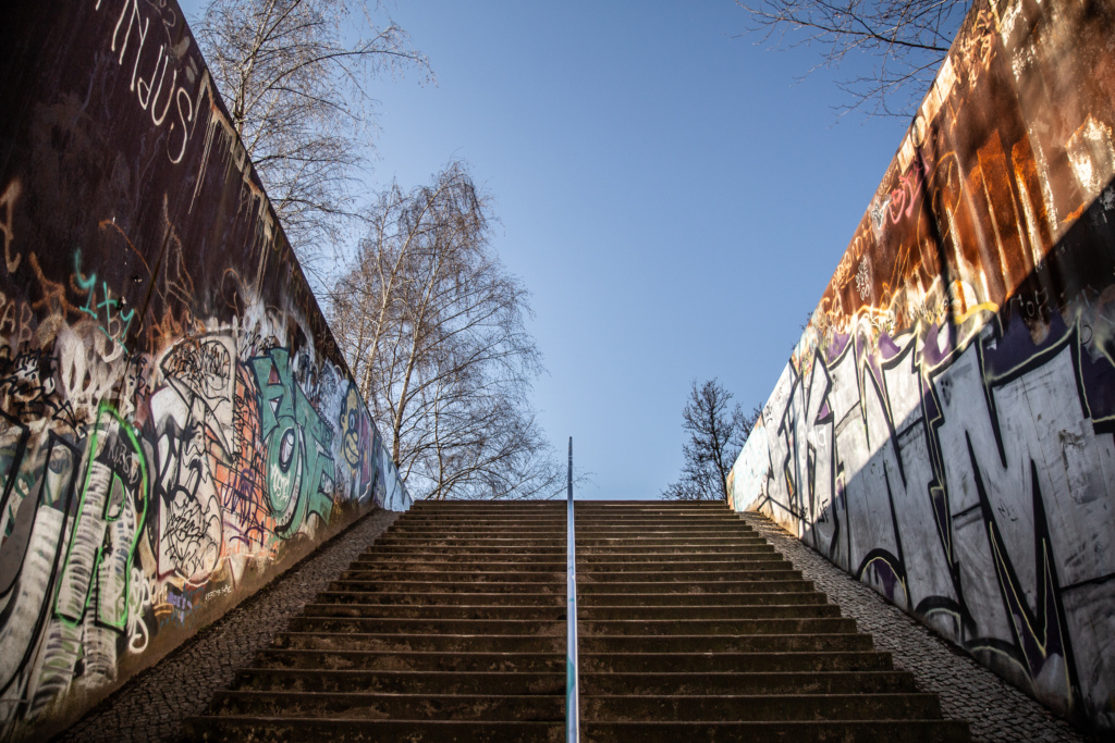
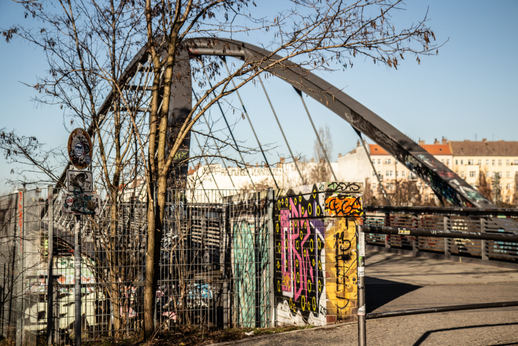
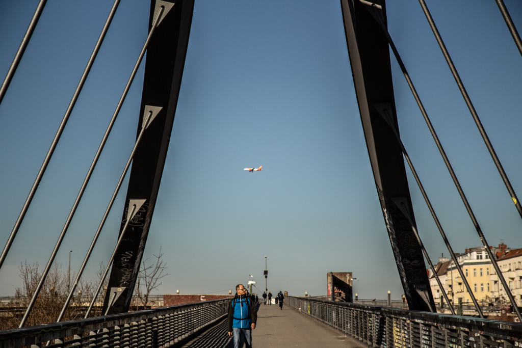
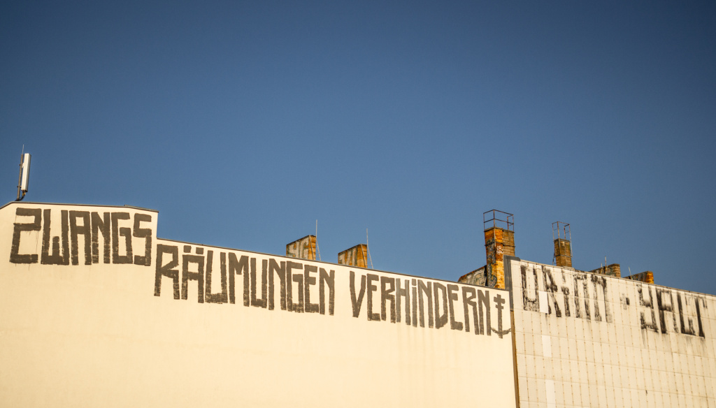
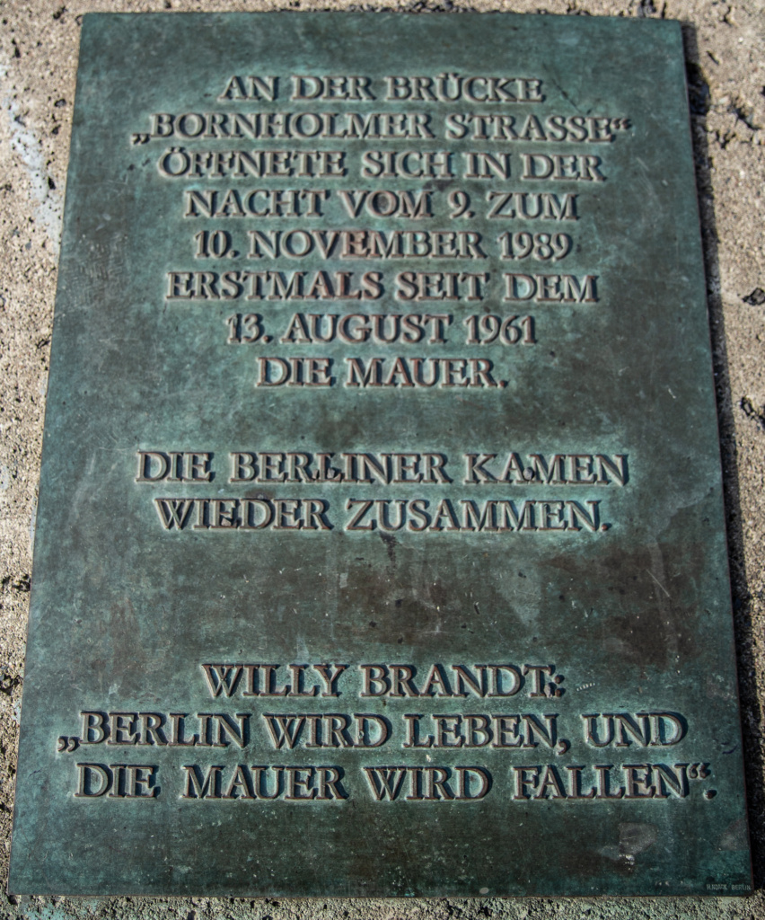
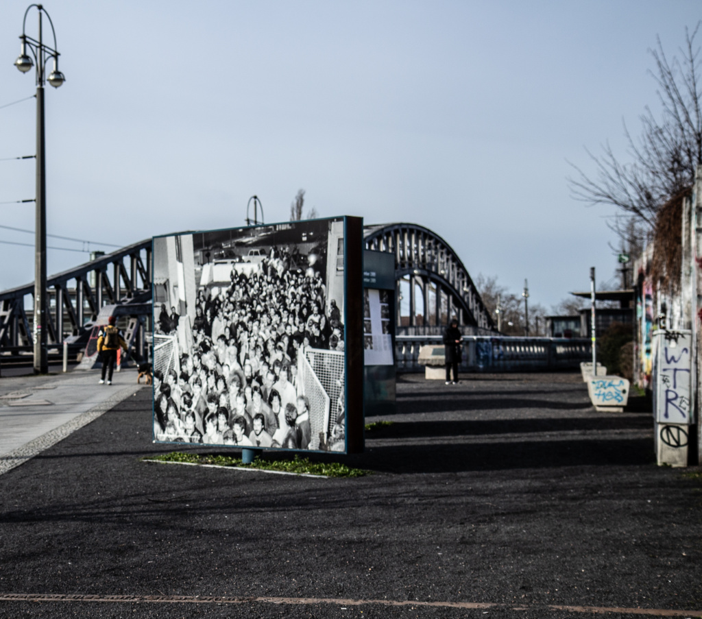
Follow the railtracks (the middle of which was the border) for the last stretch to Bösebrücke and Bornholmer Straße S-Bahn Station (which was one of the “Geisterbahnhöfe” during the cold war since the entrance building was in the West but the tracks belonged to the East). Incidentally, there is an exhibition about the “ghost stations” in Nordbahnhof. Nowadays, the bridge is probably more famous for the footage we have all seen of people from the GDR running across it the night the Wall fell.
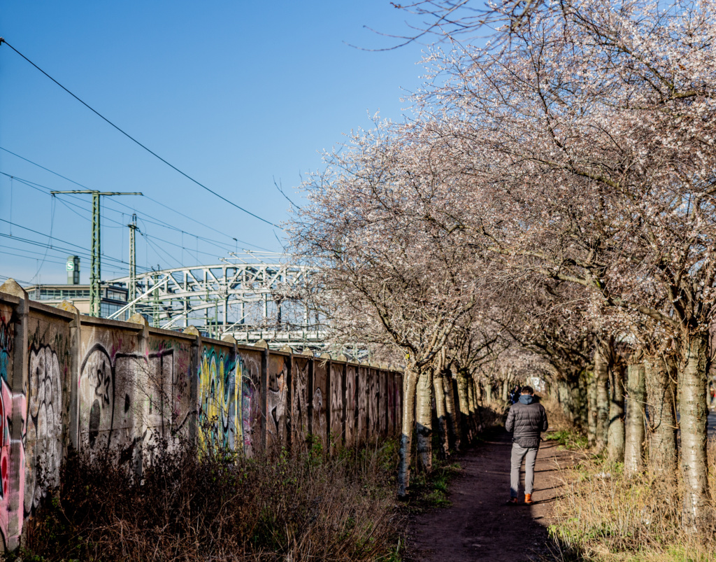
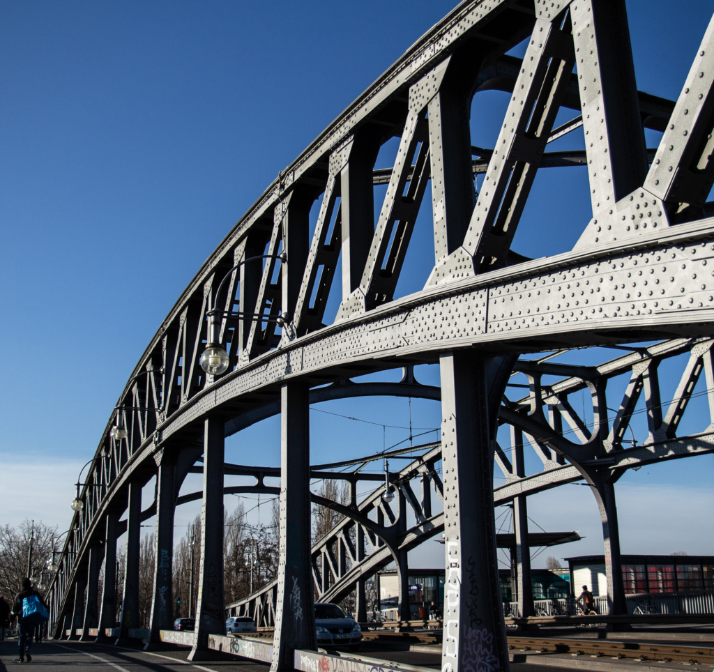
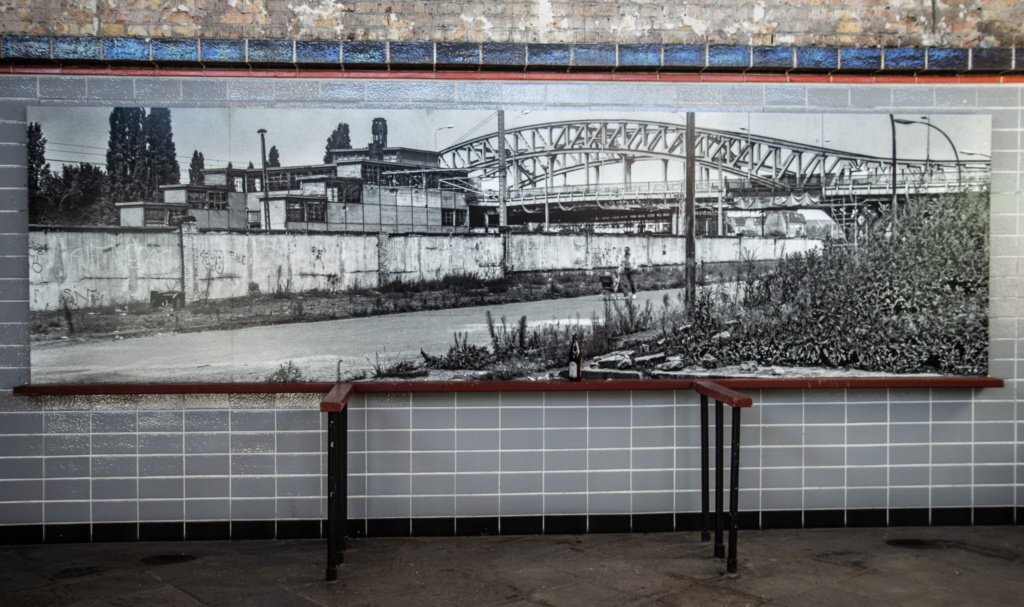
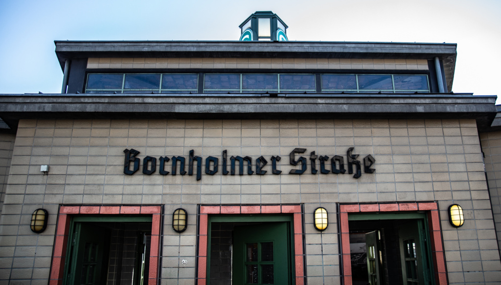
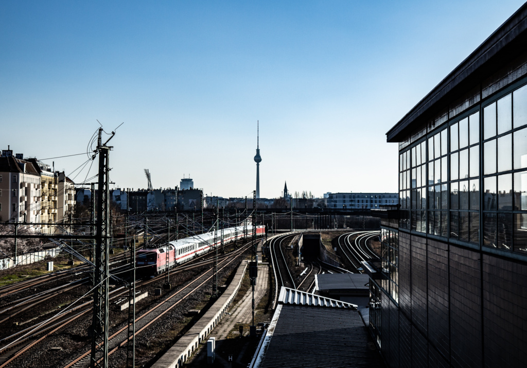
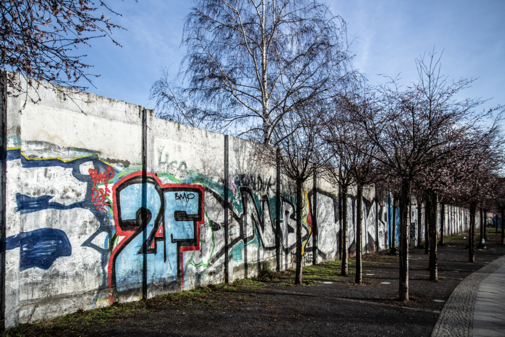
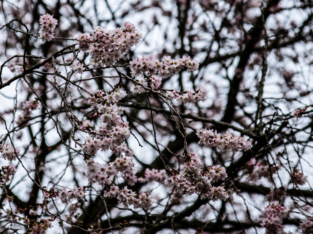
Platz des 9. November 1989 with the Japanese cherry trees with Sakura blossoms.
Tour Number 4: From Bösebrücke to Schönholz
Strangely enough, this chapter is called “Das Grüne Band” – an area we do not actually get to till Tour Number 5. (For ease of reference, here it is again: “Grenzgänge – 25 Wanderungen auf dem Berliner Mauerweg”).
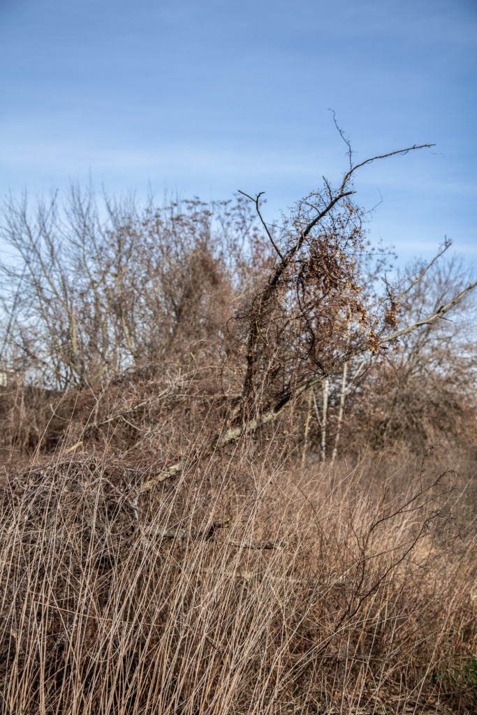
Down the stairs, and continue north on the east side of S-Bahn tracks, with some unbridled nature.
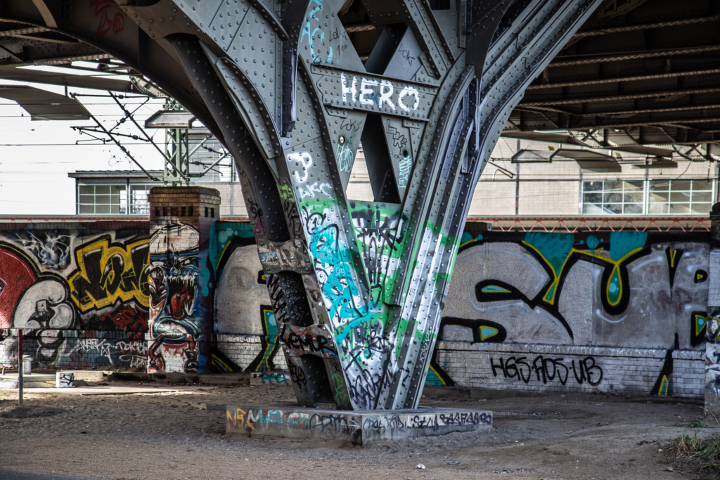
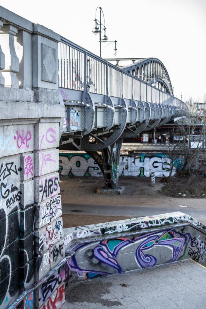
Further along, there is a fork in the tracks, and the tour according to the book continues under the bridge and then along the east side of the tracks going to S-Bahn Wollankstraße. In reality, this is not possiblesince the track has been blocked off, and it was not clear whether that is temporary or permanent. Instead, we are now led on a rather dull detour along Steegerstraße and reach Wollankstraße S-Bahn station on the other side of the tracks compared to the description in the book.
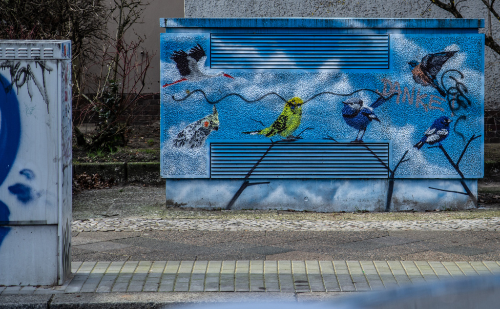
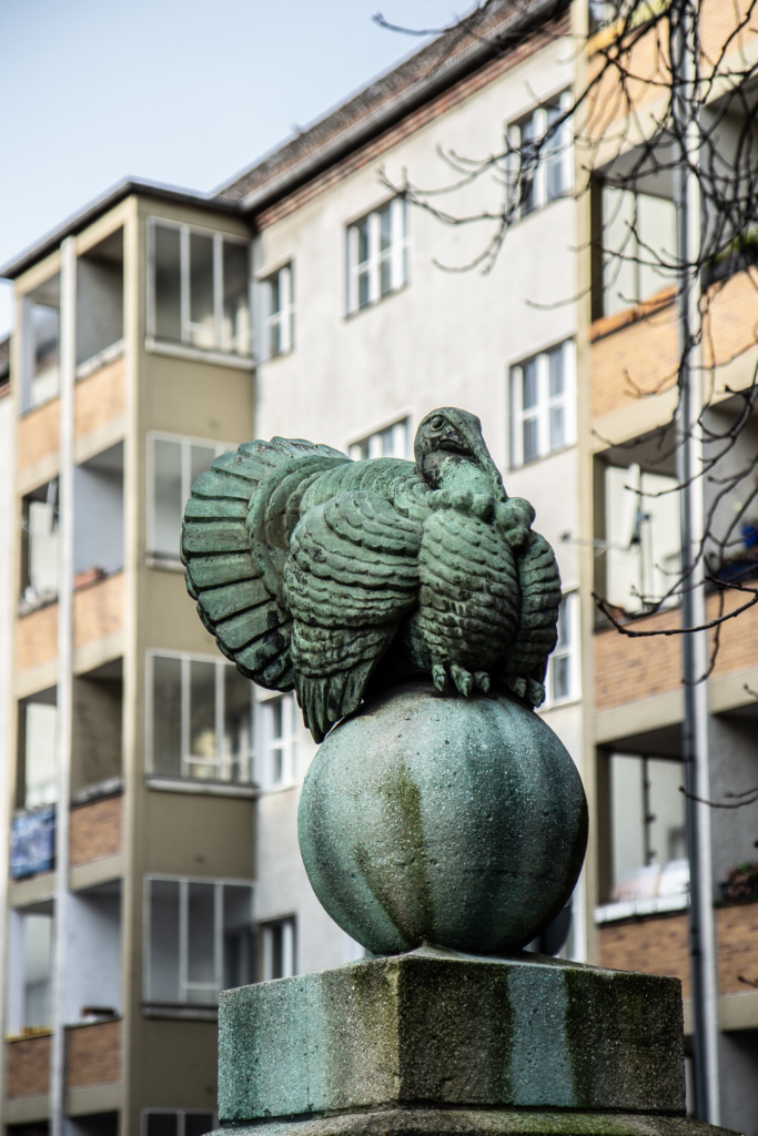
The upside: I might never have discovered this café if it were not for the forced detour. It offered a welcome toilet break, good coffee and what looked like good food. It also boasted Berlin’s best cheesecake.
One downside:
What is described in the book as (my translation) “On the former death strip between the S-Bahn line and the houses on Breheme and Schulzestrasse, there are still a lot of remains of the old border regime, material for everyday archeologists.”
I will have to go back in a while to see if that area becomes accessible again.
Another downside: If you want to see “The Wet Triangle” (Nasses Dreieck) which is described in the book, you have to go under the railway bridge and turn right (back in the direction we came from) to find it.
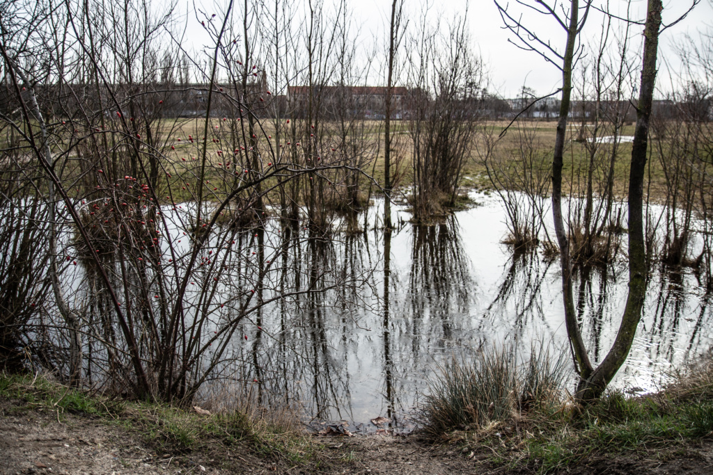
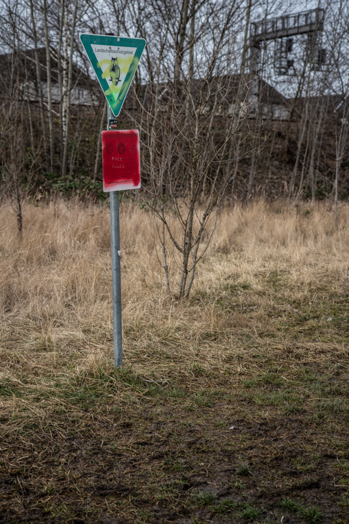
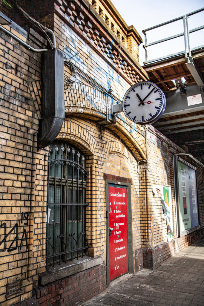
Now double back in the right direction to S-Bahn Station Wollankstraße. Do check out the link – it has an interesting history. The door which is now red and leading to a service room used to lead to a secret Stasi interrogation room.
Then rejoin the walk on the right side of the tracks. When I was there on 13 February, there were definite signs of spring.
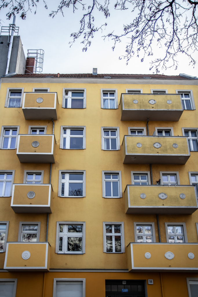
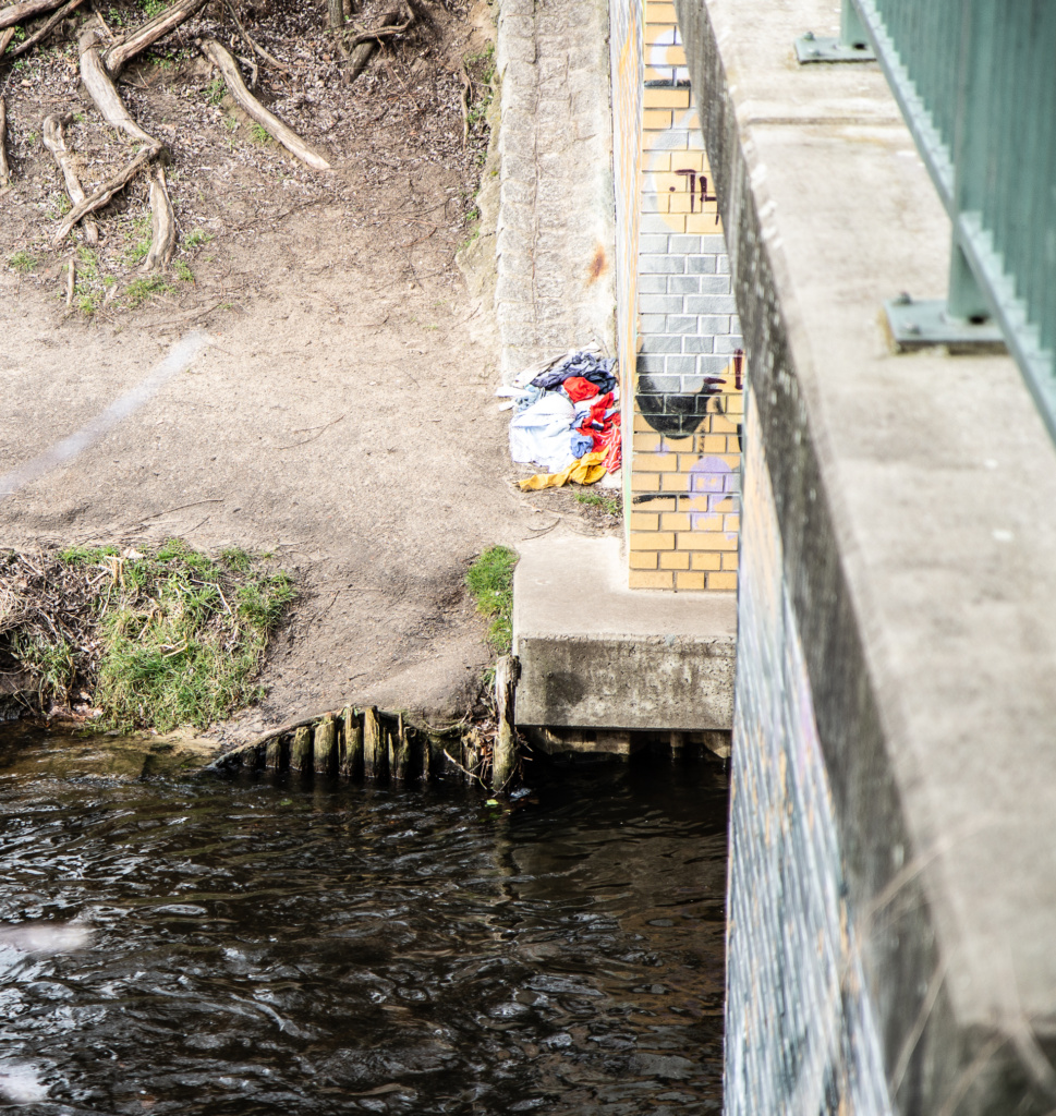
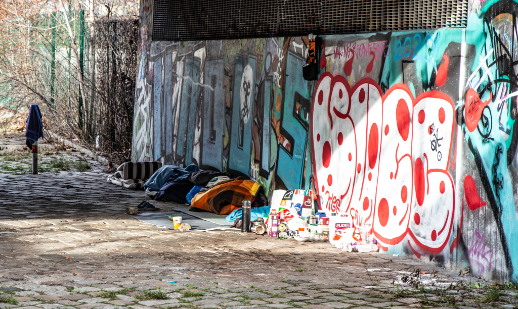
Several times along the way you can see examples of affordable accommodtion, light and airy rooms, close to recreational areas, the waterfront, as well as public transport.
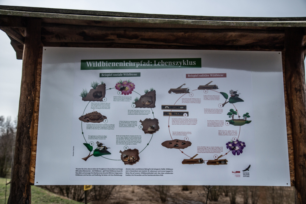
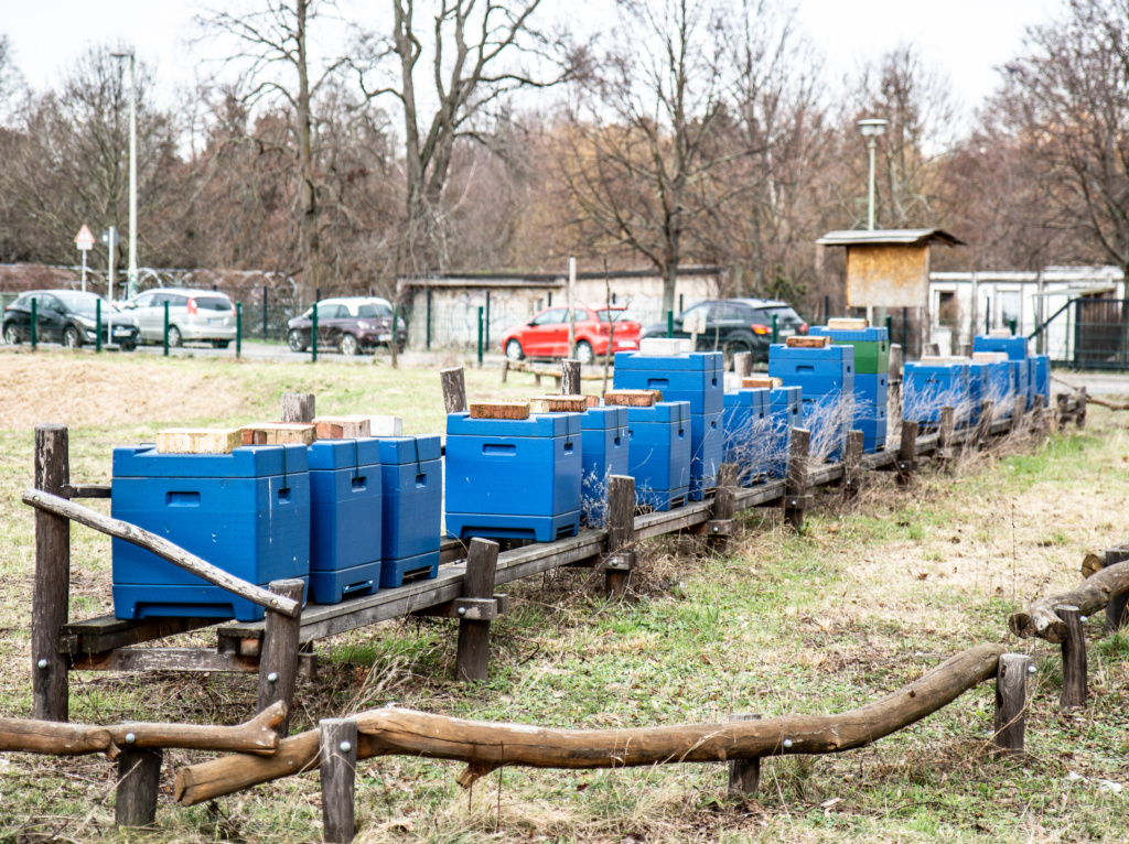
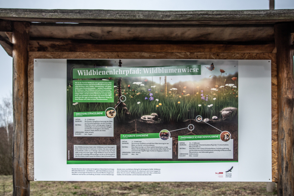
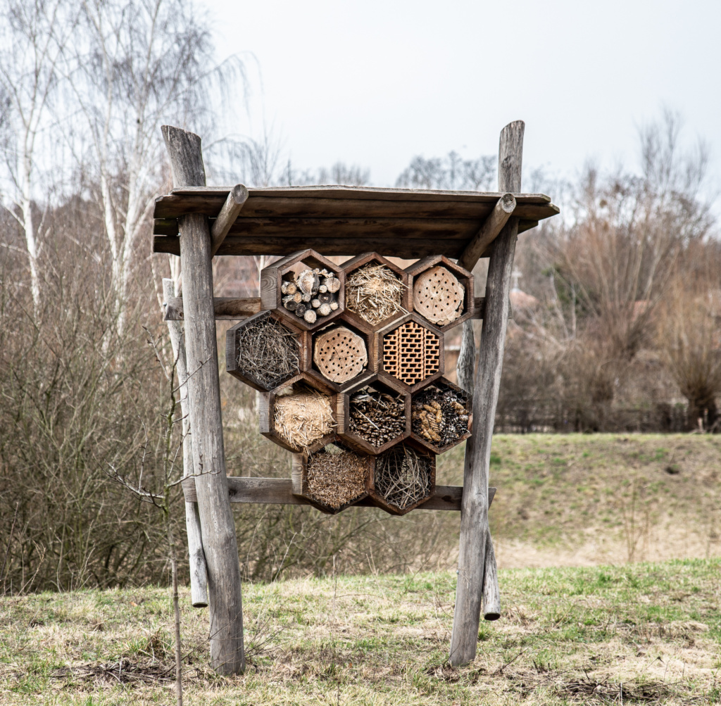
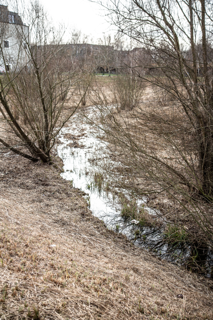
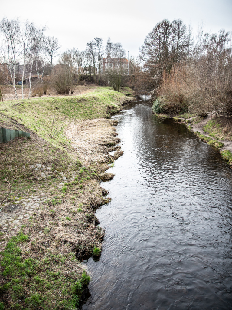
Moving on, pass a “bee hostel”, some more swamp, and cross the river Panke.
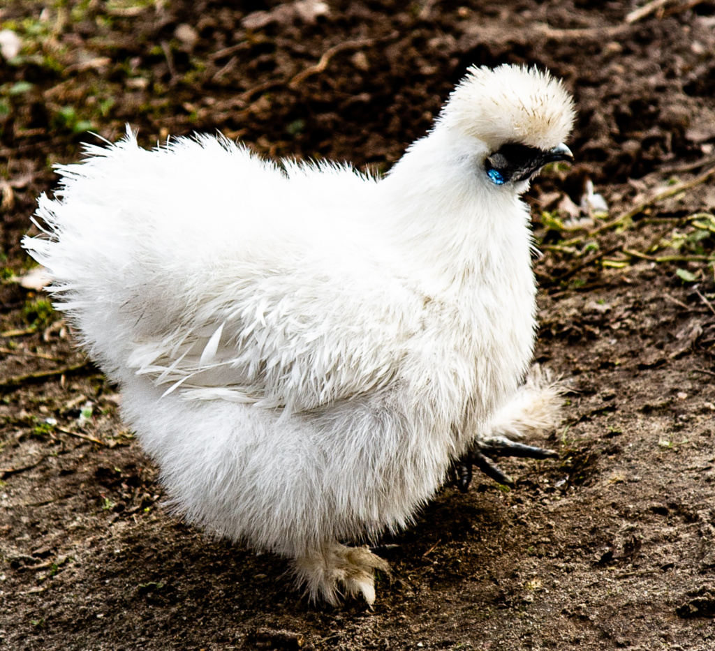
On our left, the children’s farm “Kinderbauernhof Pinke-Panke”.
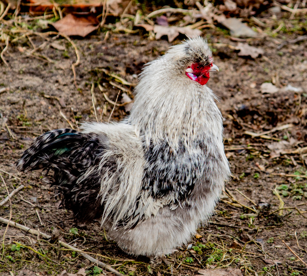
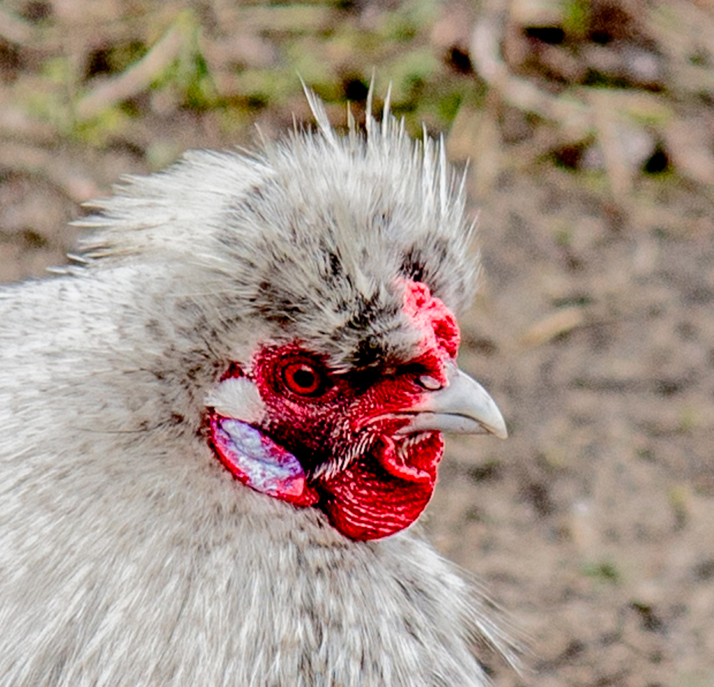
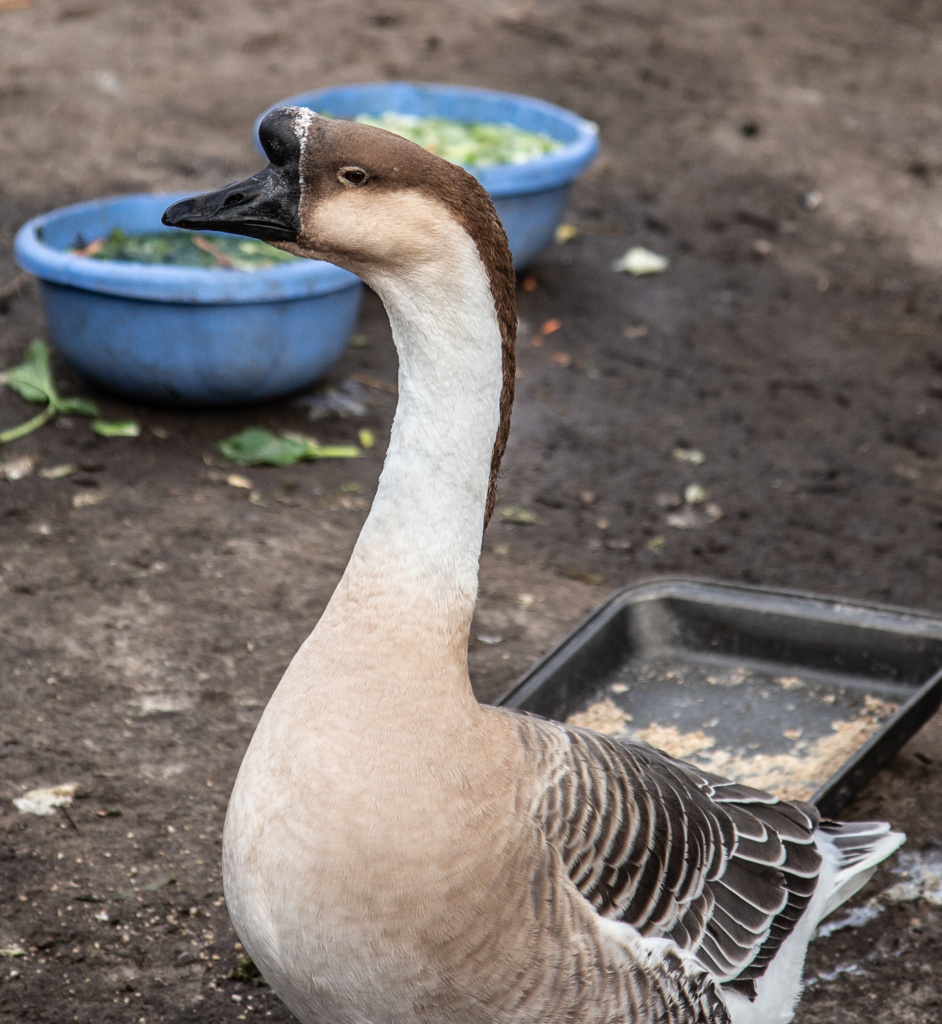
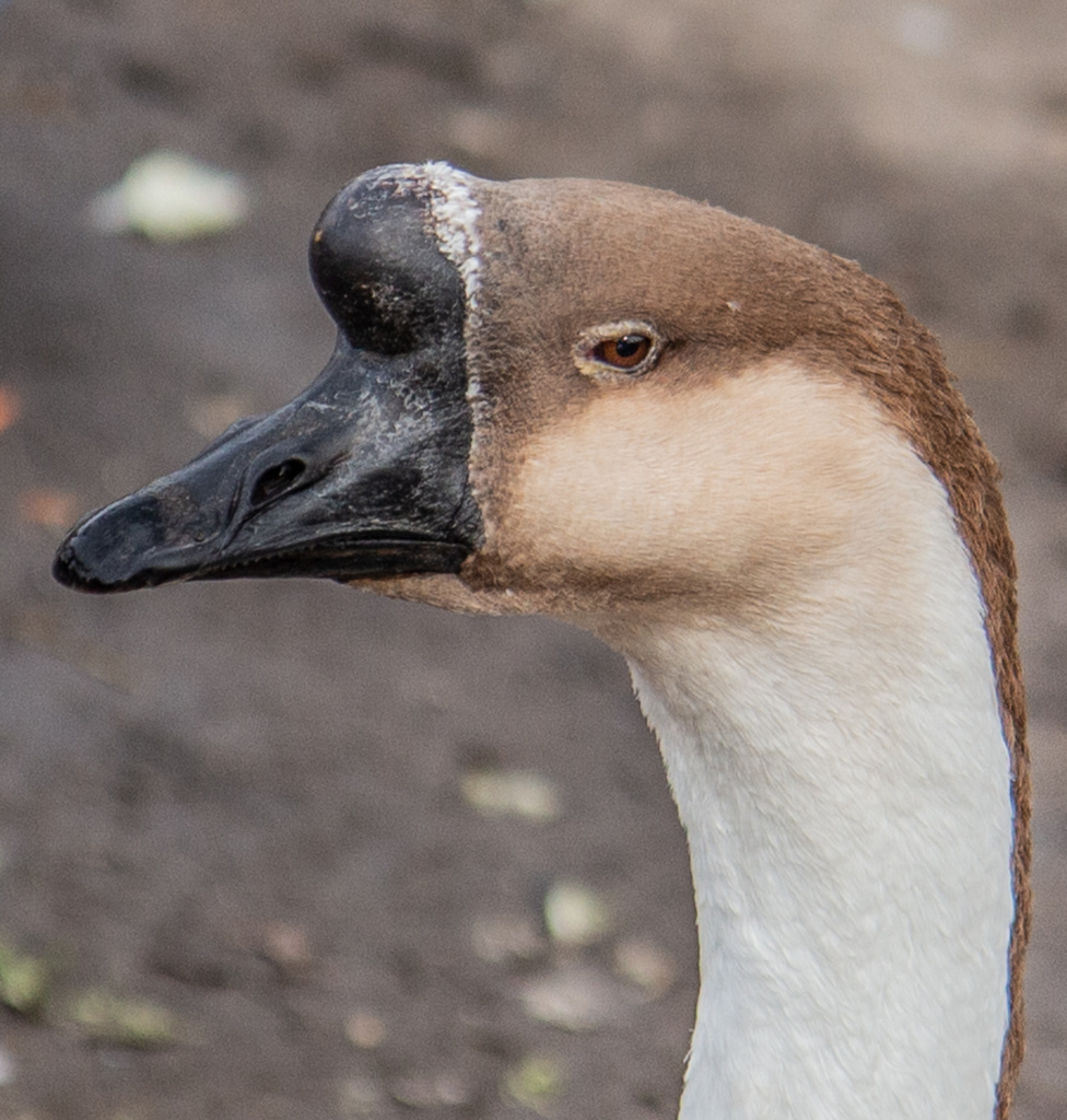
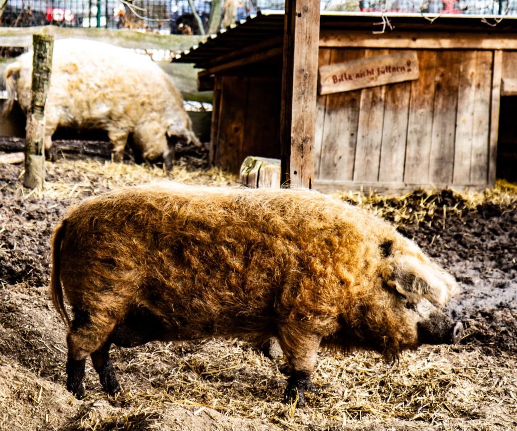
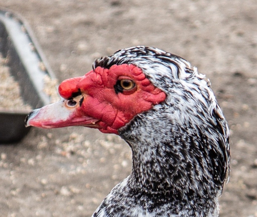
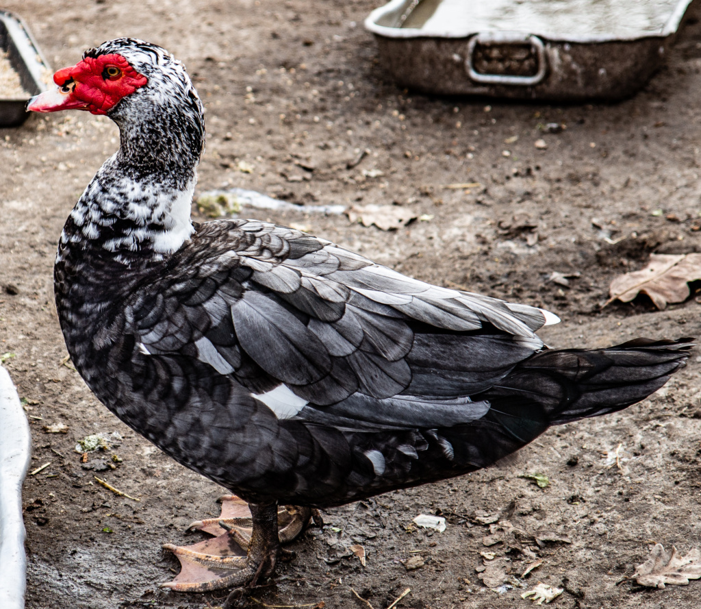
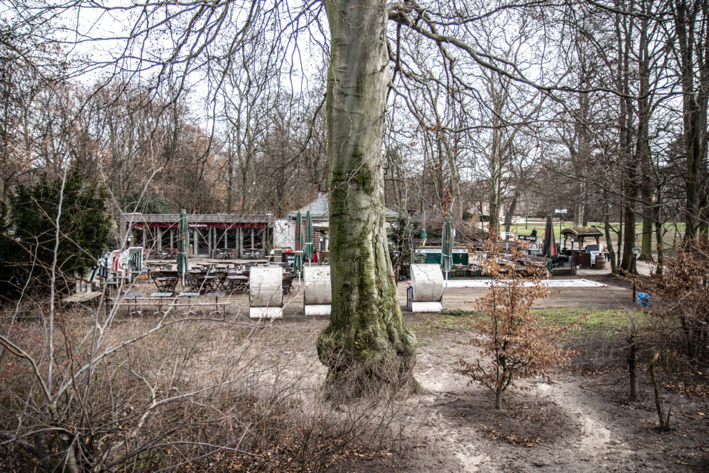
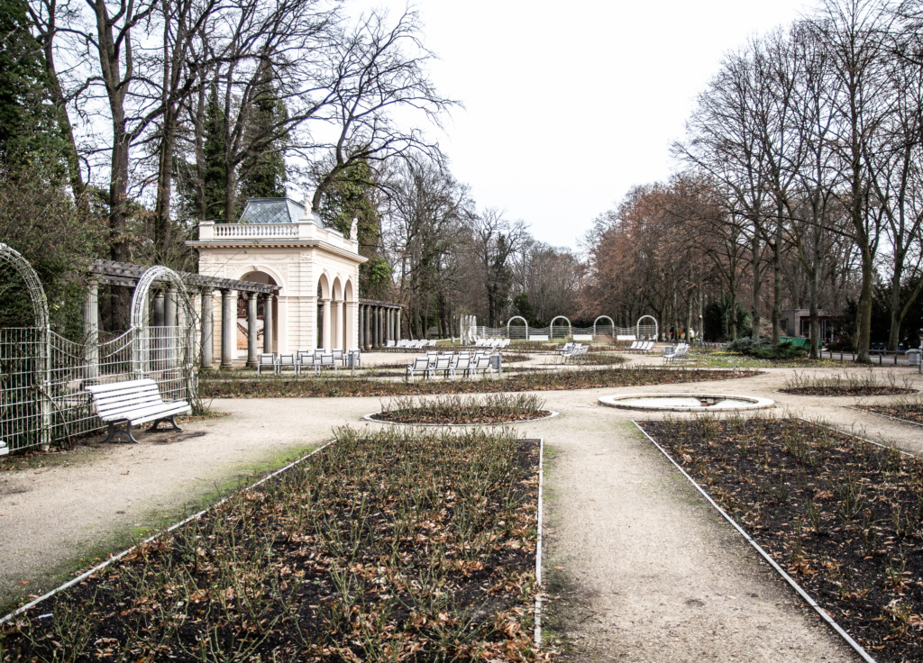
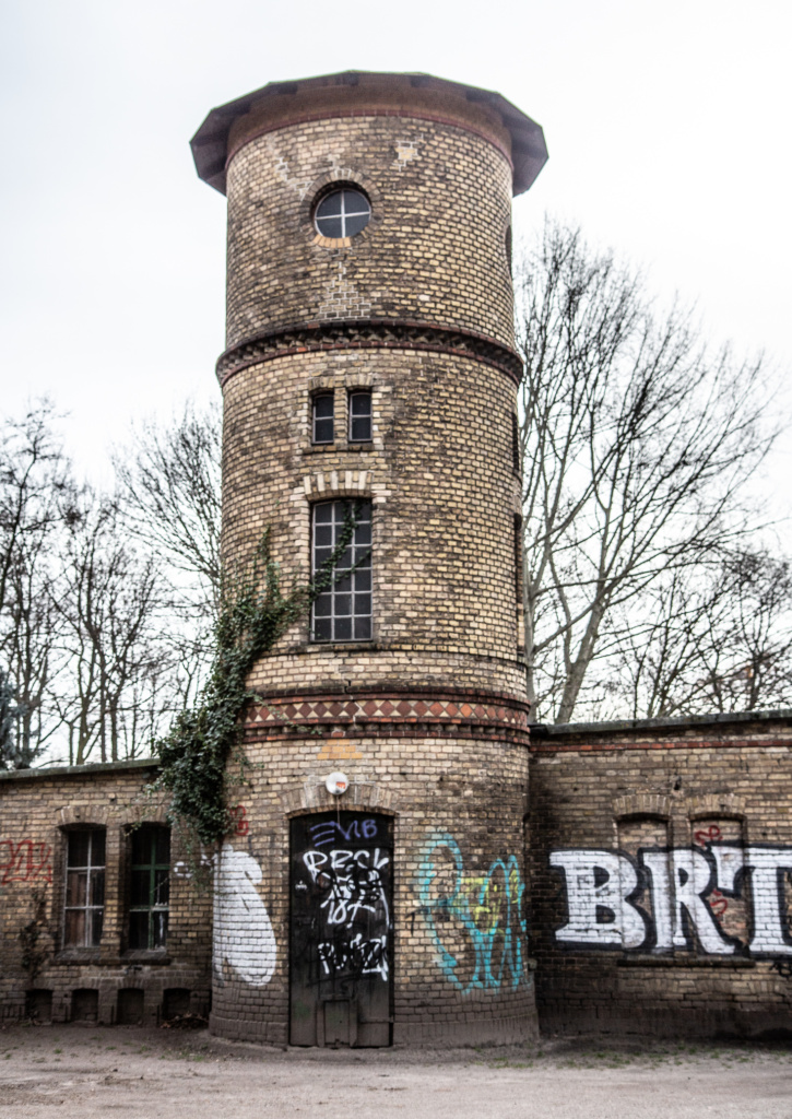
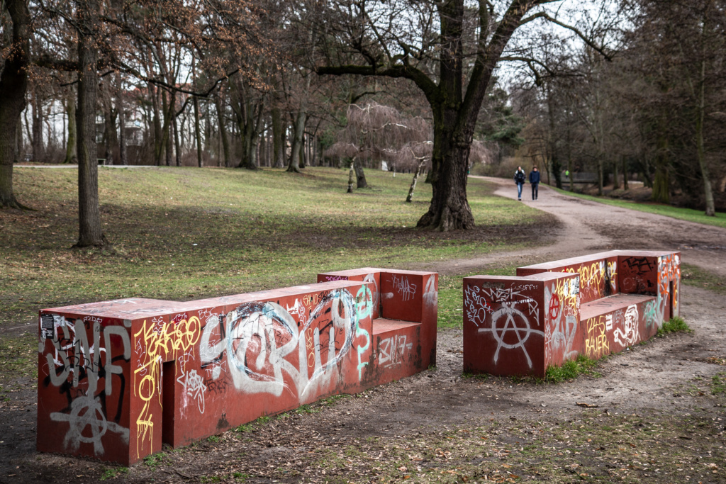
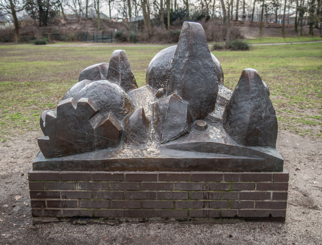
Across the street is Bürgerpark Pankow which is worth a detour. Many sculptures, a Biergarten and a rose garden.
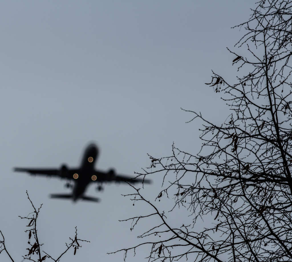
“Ladies and Gentlemen, we will be landing at Berlin Tegel Airport in a few minutes”.


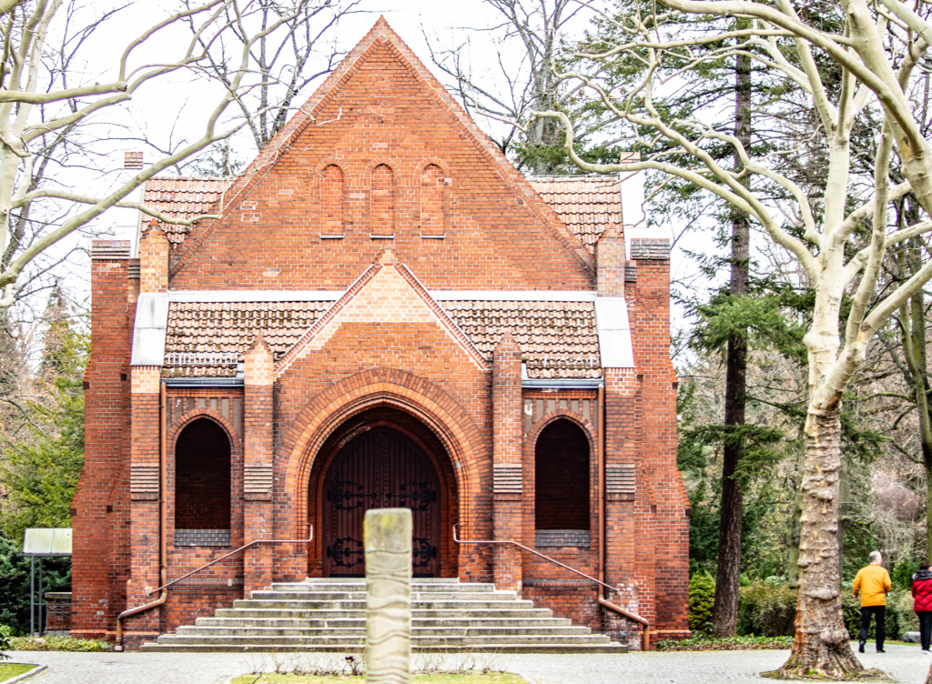
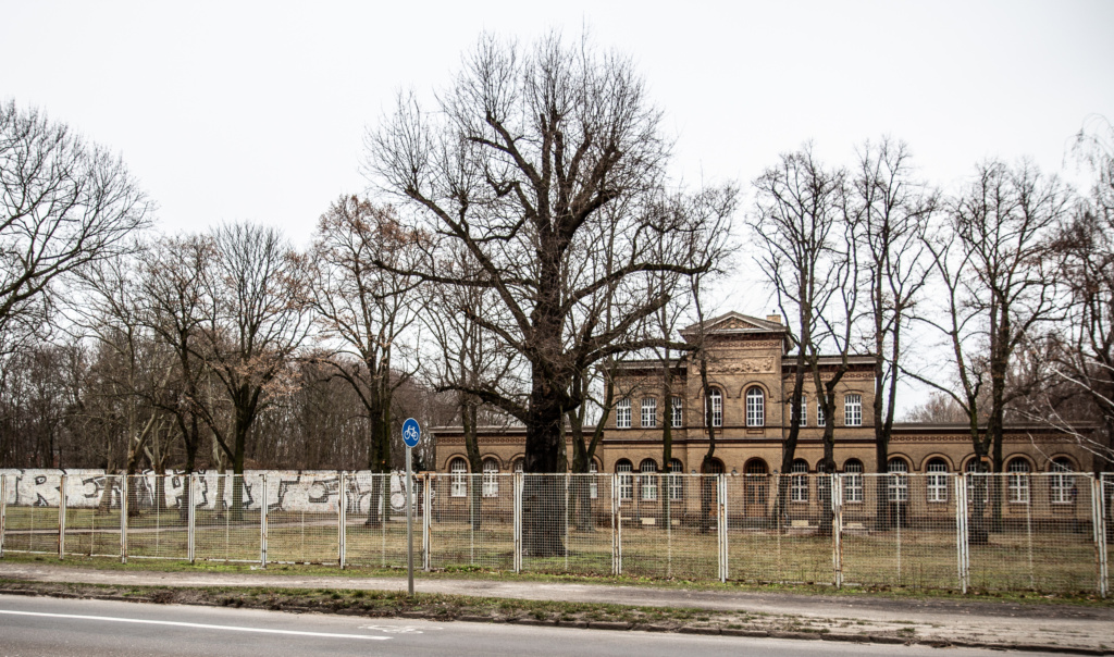
Moving on, we pass Waldfriedhof Pankow on our right-hand side, and a bit further on, shortly before reaching S-Bahn Station Schönholz, we see a building which belongs to Schönholzer Palace and park and now houses Schützenverein Schönholzer Heide.
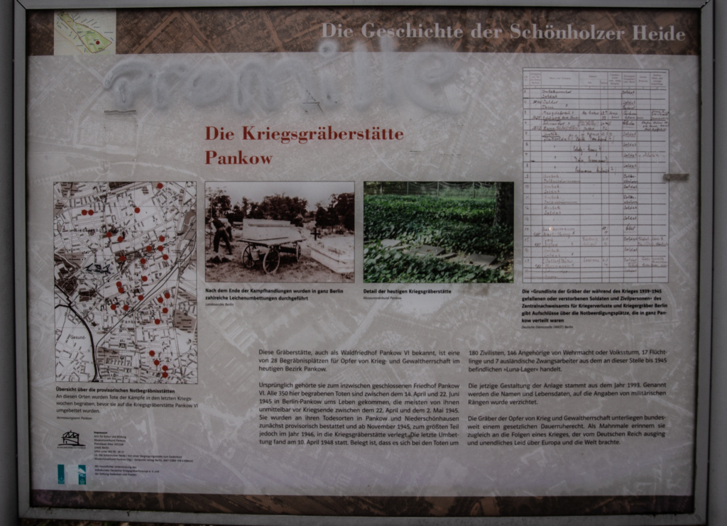
A few hundred meters from S-Bahnhof Schönholz is Berlin’s third Soviet memorial where 13.000 soldiers are buried.
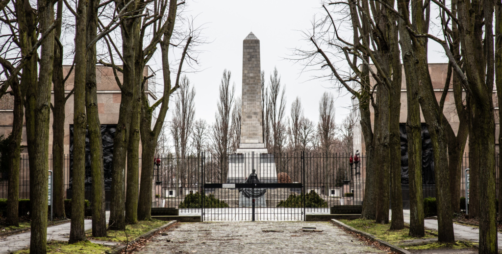
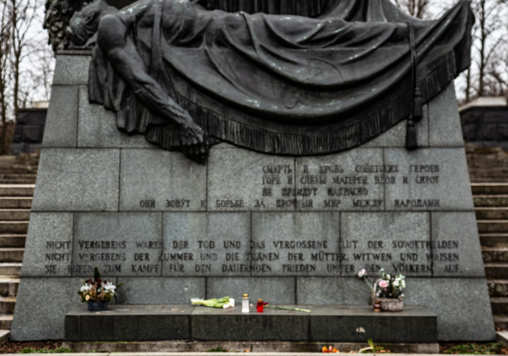
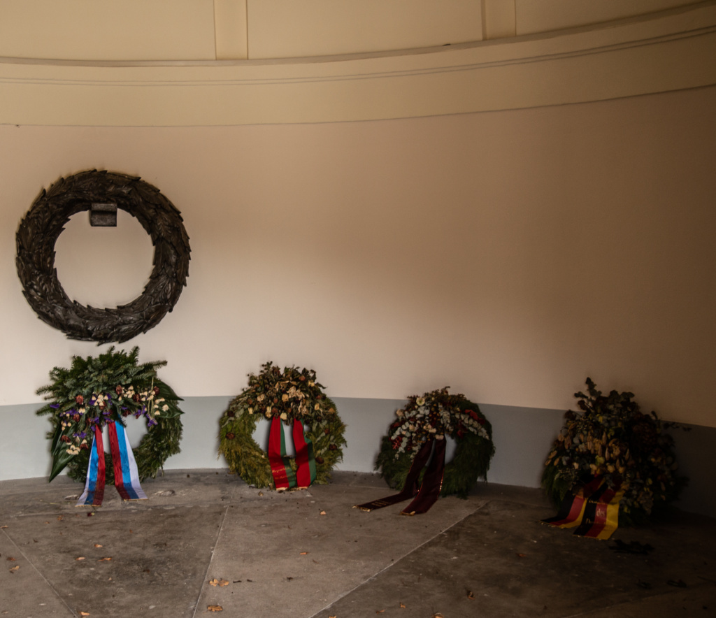
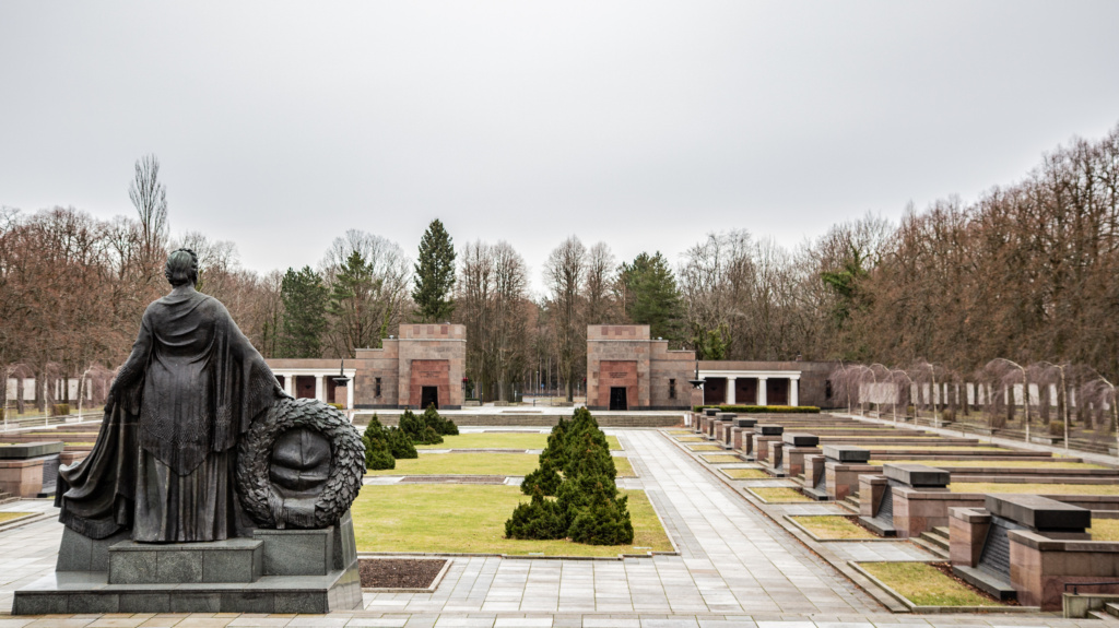
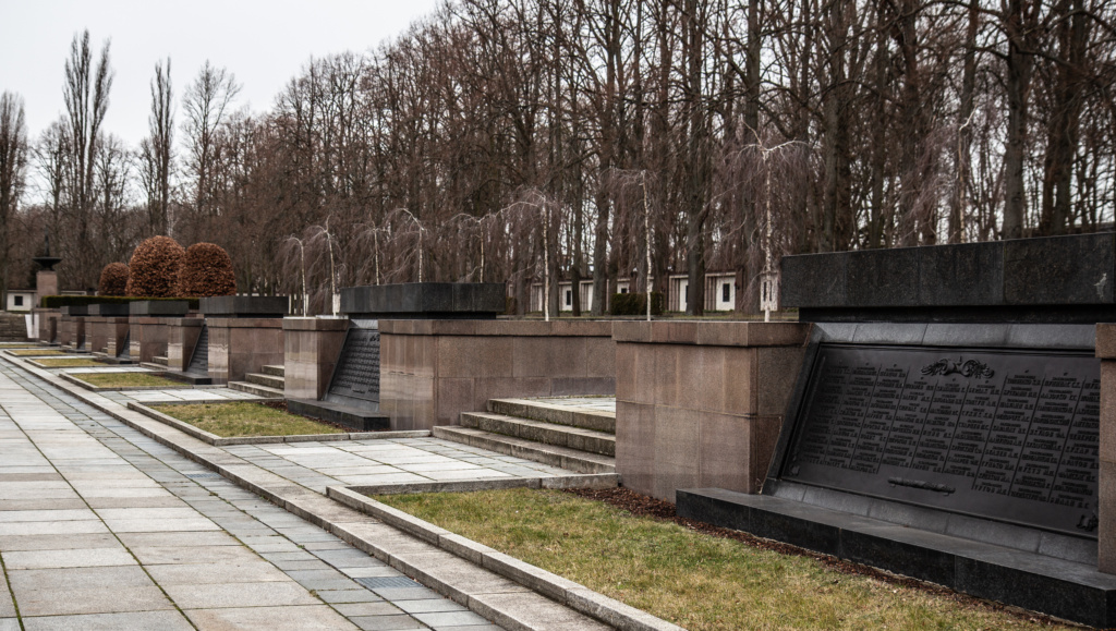
Back to S-Bahn Station Schönholz and the end of Tour Number 4: From Bösebrücke to Schönholz.
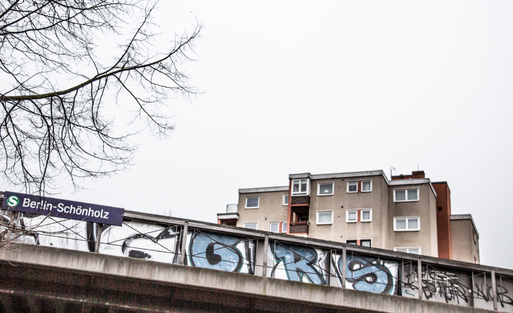
Tour Number 5: From Schönholz to Rosenthal
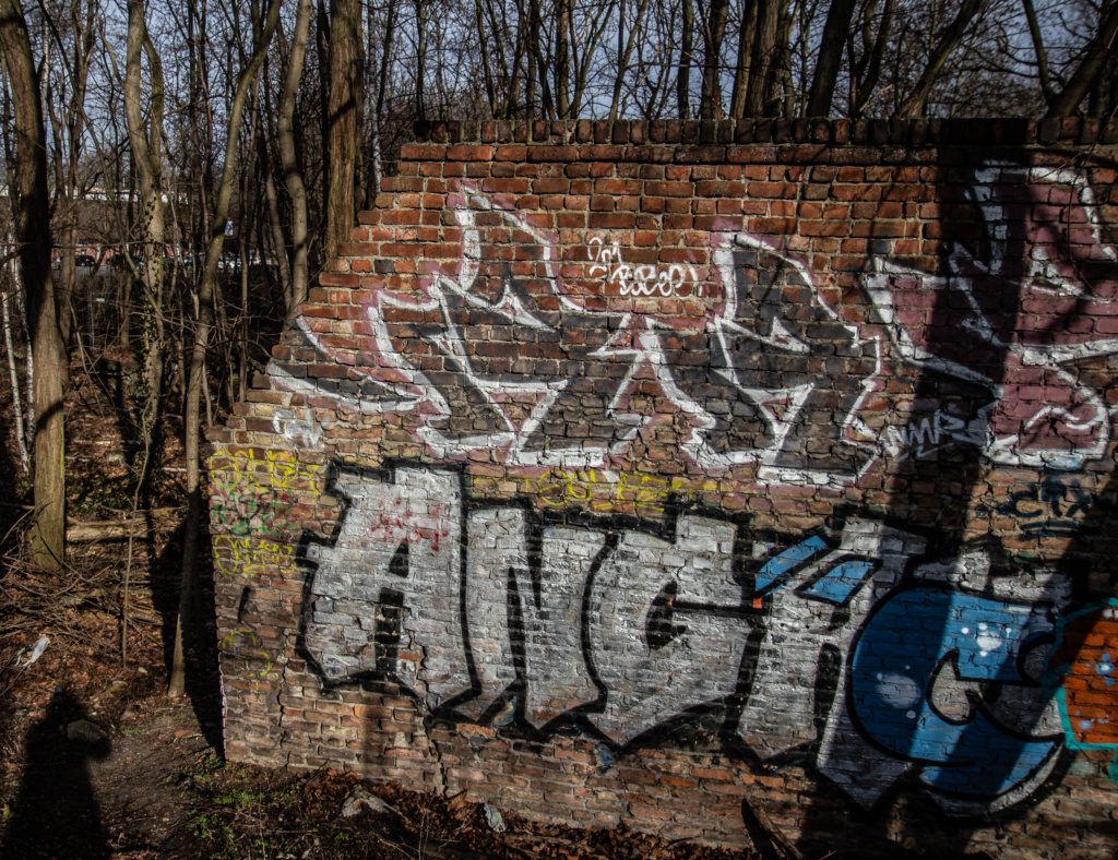
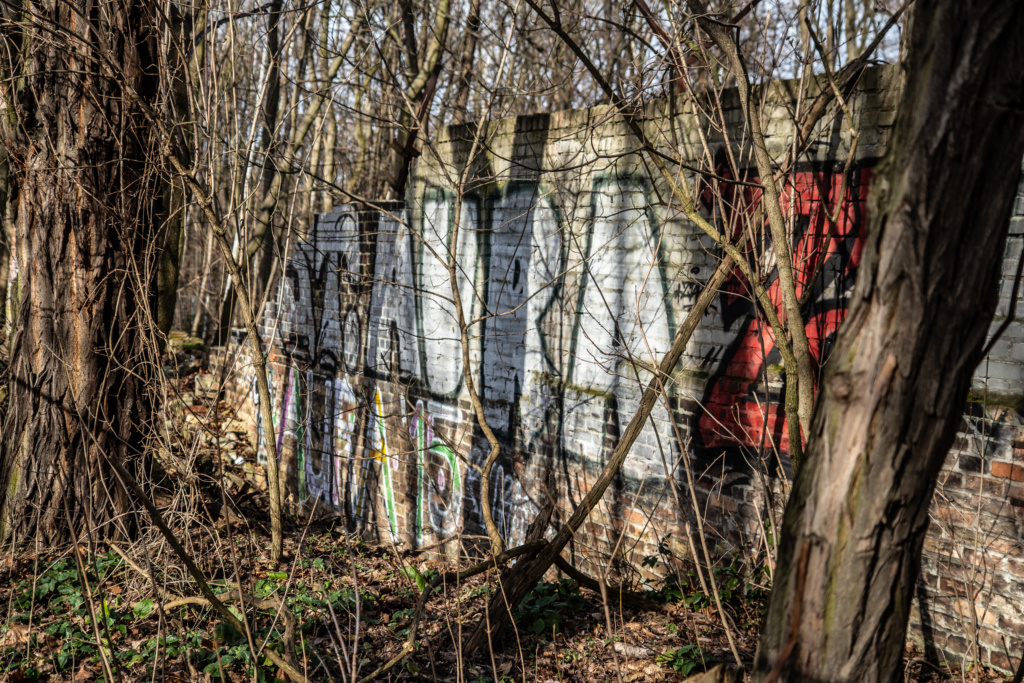
Start by going right out of the station, turn right on a narrow footpath following the tracks in the direction we came from and find a historical sensation: the only remaining part of phase one of the Berlin Wall. The other parts of the wall, made of concrete, which we recognise more easily, are from the second and the third phase. These 80 metres of “Ur-Mauer” was found by hobby archaeologist Christian Bormann, subsequently nicknamed Indiana Jones aus Pankow.
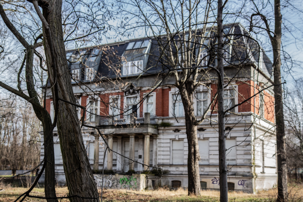
Returning to the Mauerweg, at the intersection Provinzstraße/Str. vor Schönholz is a large, empty villa. When the Pankower cemetery was partially annulled to make way for” the death strip”, all corpses that had been in the ground for less than seven years (!) were exhumed and deposited in the basement of this villa. People alive at the time remember a bestial stench, and since then the magnificent building has been popularly known as the “mortuary villa” (Leichenvilla). Today it belongs to Mozambique, but the African country lacks the money to transform it into an embassy.
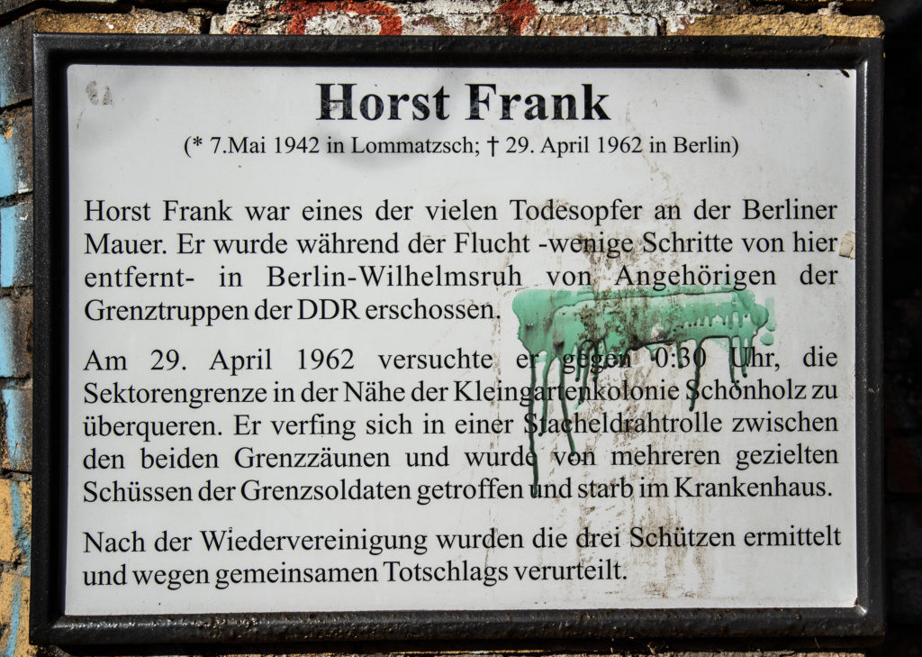
Moving on, by the bridge, first a memorial plaque for one of the victims of the wall, 19-year-old Horst Frank who was shot trying to escape the GDR.
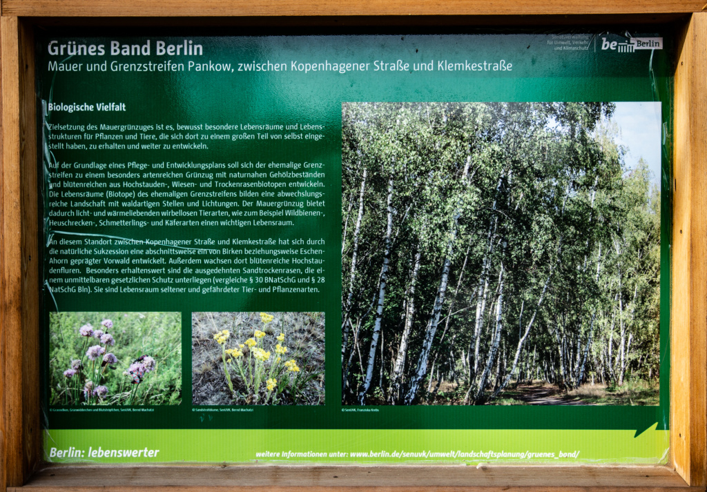
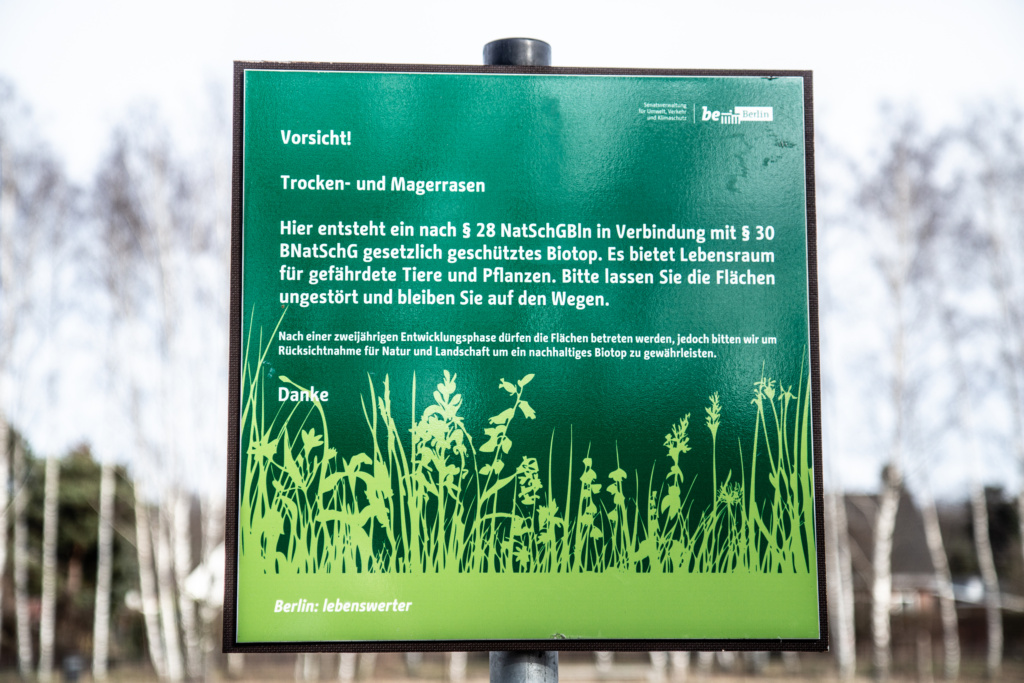
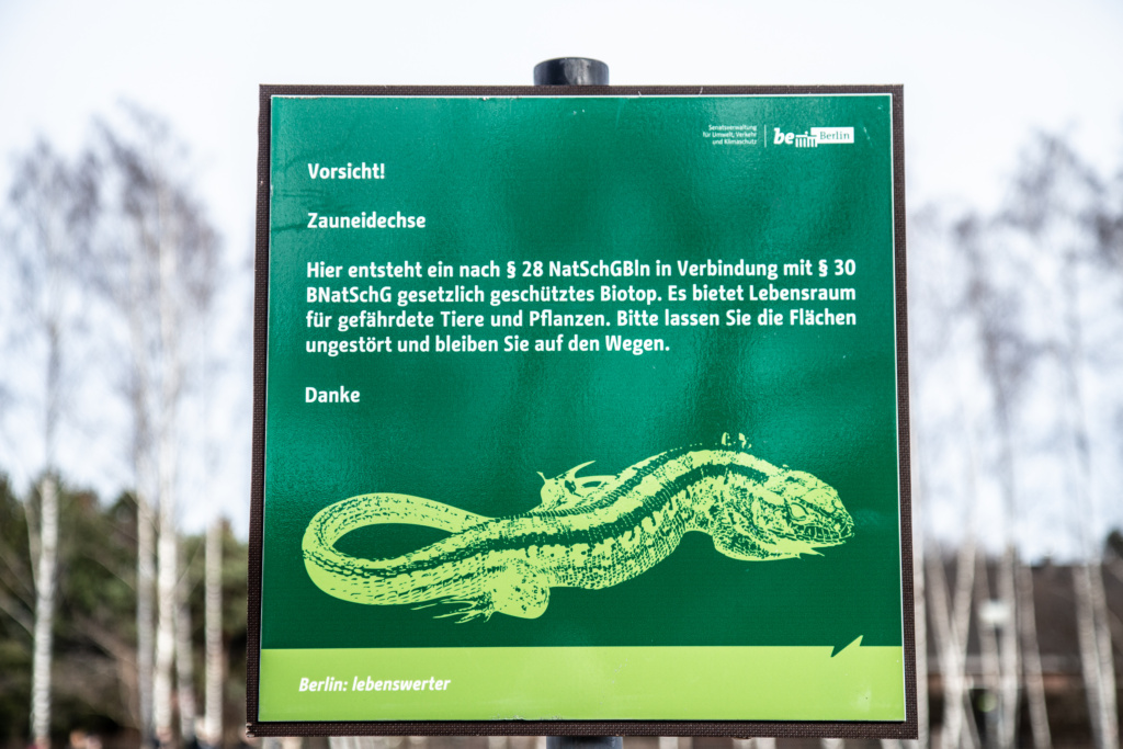
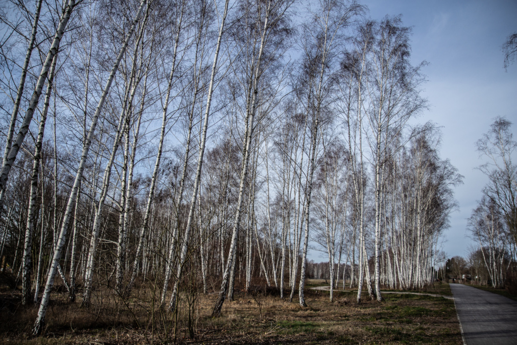
From there, it is straight ahead between the railway tracks and first “Das Grüne Band” (which the book still does not describe, although the previous chapter (?) was called “Das Grüne Band”. Sloppy editing?
When I got to Wilhelmsruh S-Bahn Station, I needed something to eat and made a slight detour 8a total of about 1,2 km) turning right on Kopenhagener Straße instead of straight ahead to continue along the tracks. I had a nice lunch in this restaurant https://www.hoabistro.de/ .
Back to Wilhelmsruh S-Bahn Station and the path on the right-hand side of the tracks, there is some unspoilt nature, an old industrial area, and some sort of alternative housing. Not all of the way comes across as particularly welcoming.
